
1:10,000 Topographic Map, Tokyo and Neighboring Areas No. 18, Setagaya 一万分一地形図東京近傍 十八号 世田谷
大日本帝国陸地測量部/作成
- Collection of
- Edo-Tokyo Museum
- Title
- 1:10,000 Topographic Map, Tokyo and Neighboring Areas No. 18, Setagaya
- Collection ID
- 96200281
- Category
- Printed Material
- Creation Date
- 1917 20世紀
- Size
- 46.0 cm x 58.0 cm
- Edo-Tokyo Museum Digital Archives
- https://www.edohakuarchives.jp/detail-182494.html
Other items of Edo-Tokyo Museum (159764)
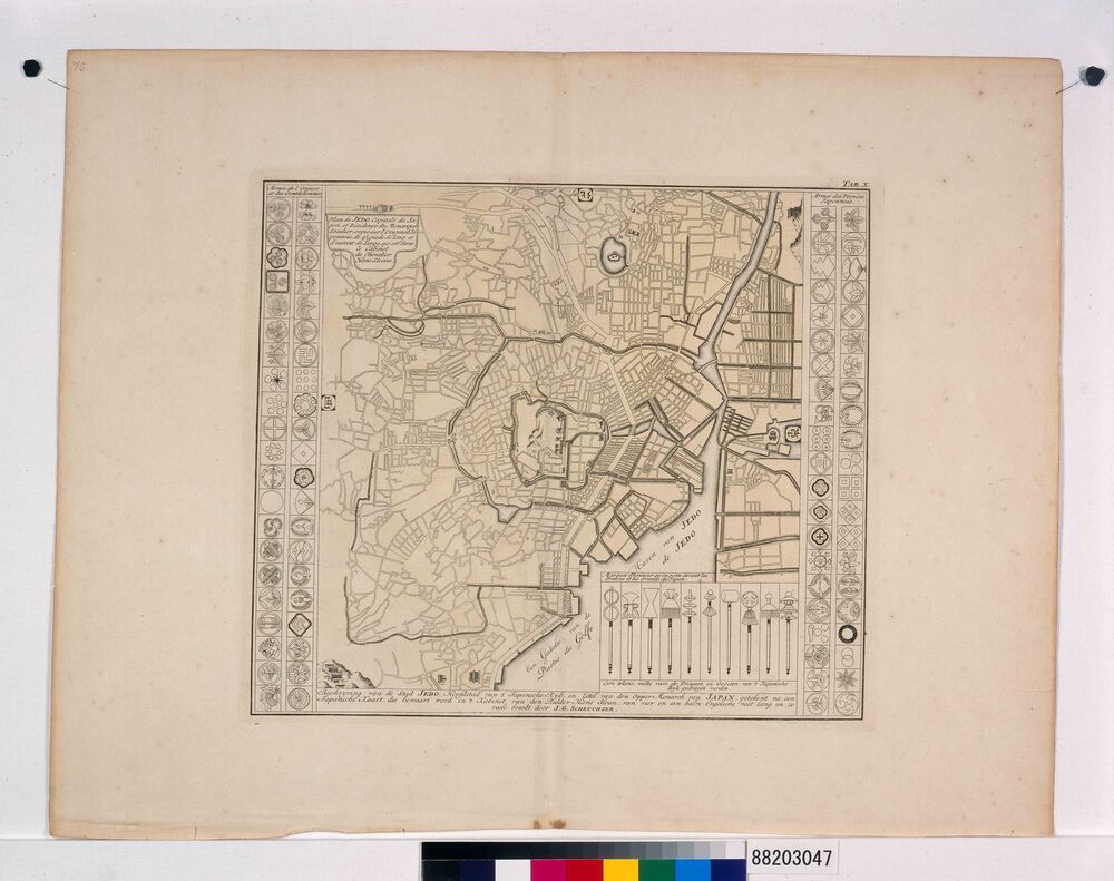
Kaempfer’s “Map of Edo”
Engelbert Kempfer
Edo-Tokyo Museum

Rules and Regulations of the Tokyo Liquor Brokers Association
Edo-Tokyo Museum
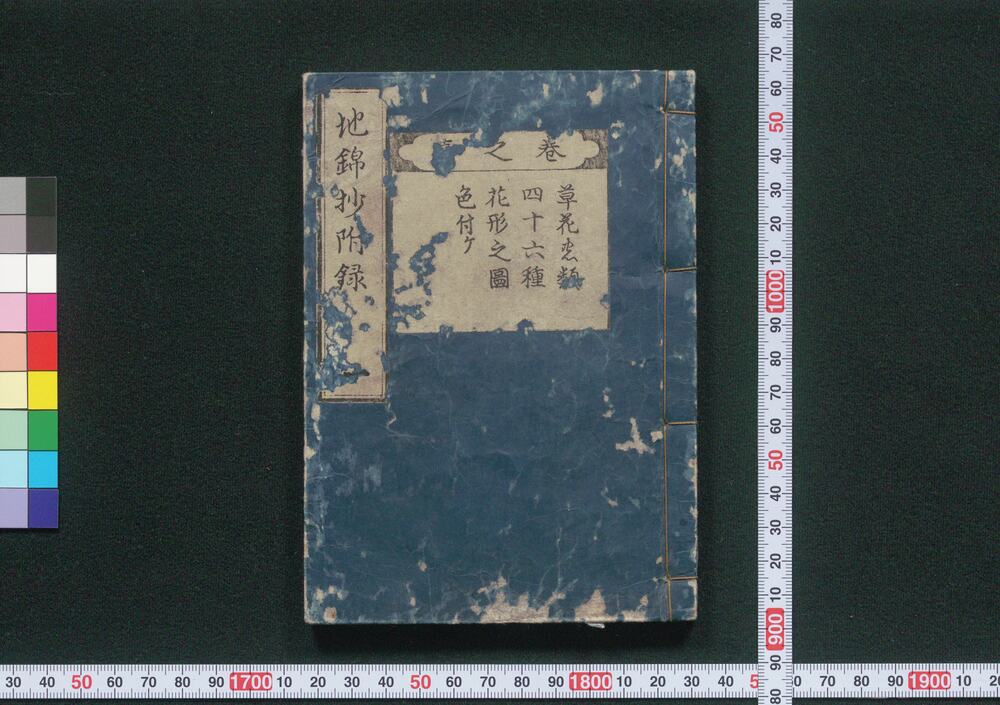
Kōeki Chikinsho (Book of Gardening), Appendix
Edo-Tokyo Museum
Map of the 35 Wards of Tokyo, Complete Map of Shibaku
Edo-Tokyo Museum
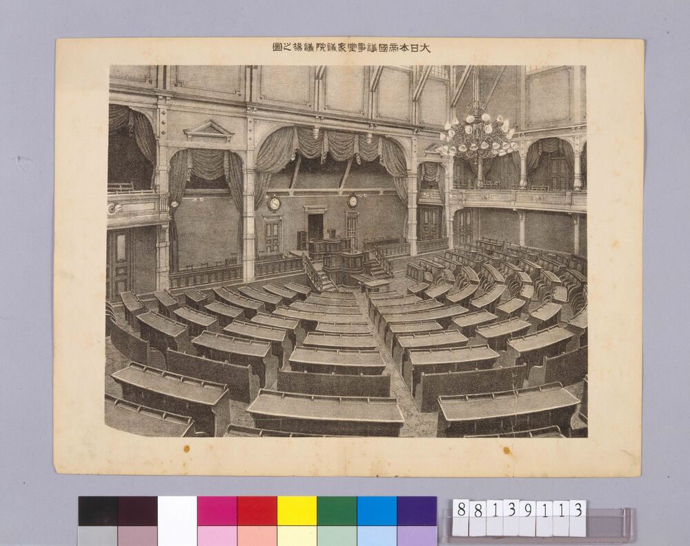
Bus Ticket Commemorating the Completion of the House of the Imperial Diet
Edo-Tokyo Museum
Tokyo Gekijō Theater Program for June 1935, Tōgeki (Tokyo Gekijō Theater) Performances in June
Edo-Tokyo Museum
Document of Contract
Edo-Tokyo Museum
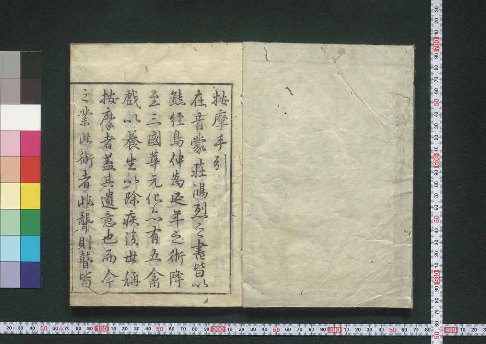
Anma Tebiki (Handbook of Anma Massage)
Edo-Tokyo Museum
Zōshigaya Tonarigumi (Neighborhood Association) Documents
Edo-Tokyo Museum
Kokeshi Dolls: Hikimayu
Edo-Tokyo Museum
Edo-Tokyo Museum
Work Exhibited at the 11th Ministry of Education Art Exhibition: Visiting the Nose Myōkenzan Temple, by Mr. Noda Kyūho
Edo-Tokyo Museum
Ichikawa Ennosuke III (1)
Edo-Tokyo Museum
Marseilles Shuppan Pamphlet
Edo-Tokyo Museum
Yūbin Hōchi Shimbun
Edo-Tokyo Museum
Ningen Banji Uso Bakkari
Edo-Tokyo Museum