
1:10,000 Topographic Map, Tokyo and Neighboring Areas No. 11, Waseda 一万分一地形図東京近傍 十一号 早稲田
大日本帝国陸地測量部/作成
- Collection of
- Edo-Tokyo Museum
- Title
- 1:10,000 Topographic Map, Tokyo and Neighboring Areas No. 11, Waseda
- Collection ID
- 96200274
- Category
- Printed Material
- Creation Date
- 1917 20世紀
- Size
- 46.0 cm x 58.0 cm
- Edo-Tokyo Museum Digital Archives
- https://www.edohakuarchives.jp/detail-182487.html
Other items of Edo-Tokyo Museum (159764)
Edo-Tokyo Museum

Hyottoko (Briquettes Holder)
Edo-Tokyo Museum

Haifū Shin Yanagidaru (Collection of Senryū Poems, New Selection), Part 4 (1)
Edo-Tokyo Museum
Report of the U.S. Street Lighting Commission
Edo-Tokyo Museum
Hanten Jacket with Logo
Edo-Tokyo Museum
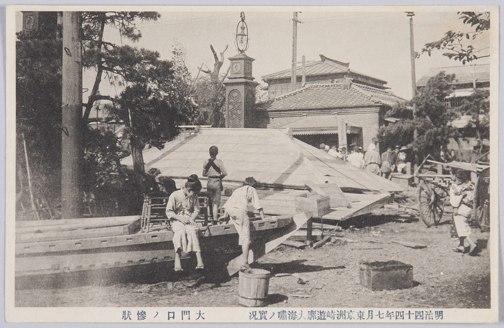
Picture Postcards of the Actual Scene of the Great Tsunami of July 1911 in the Susaki Licensed Quarters, Tokyo
Edo-Tokyo Museum
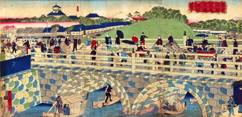
Famous Views of Tokyo : Sujikaibashi Two‐Arched Bridge
Utagawa Hiroshige Ⅲ
Edo-Tokyo Museum
Japanese Hand Towel as a New Year’s Gift
Edo-Tokyo Museum
Calligraphy by Hatoya Sanshi
Edo-Tokyo Museum
Smoke Pipe
Edo-Tokyo Museum
Edo-Tokyo Museum
Lighter
Edo-Tokyo Museum
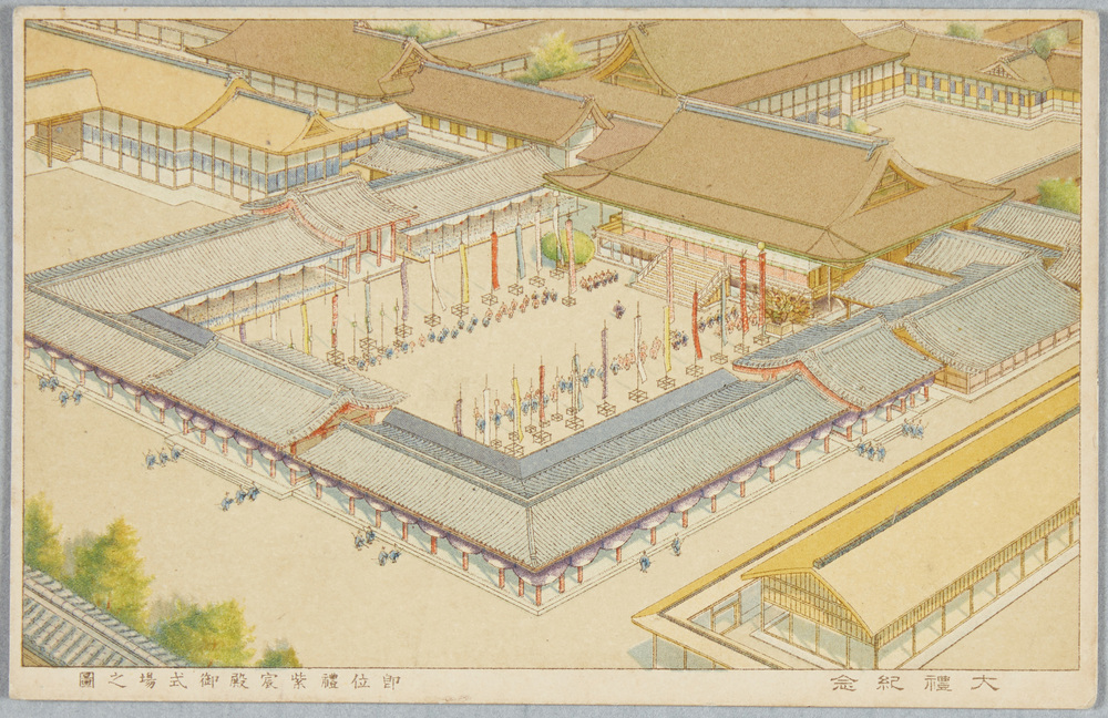
Commemoration of Imperial Ceremony, Illustration of the Enthronement Ceremony at the Shishinden Hall
Edo-Tokyo Museum
Sūgaku Sanzendai (Book of 3,000 Mathematics Exercises), 2
Edo-Tokyo Museum
SLR Camera, Fujipet
Edo-Tokyo Museum
“To Amsterdam for the Olympic Games...” (Political and Social Photo News from the Early Shōwa Era)
Edo-Tokyo Museum