
1:20,000 Topographical Map of "Shinagawa, Ōsaki, Meguro, Hiratsuka, and Ōi" [2万分の1]地形図「品川・大崎・目黒・平塚・大井」
- Collection of
- Edo-Tokyo Museum
- Title
- 1:20,000 Topographical Map of "Shinagawa, Ōsaki, Meguro, Hiratsuka, and Ōi"
- Collection ID
- 95005564
- Category
- Printed Material
- Creation Date
- 20世紀
- Size
- 38.2 cm x 47.2 cm
- Edo-Tokyo Museum Digital Archives
- https://www.edohakuarchives.jp/detail-179840.html
Other items of Edo-Tokyo Museum (159764)
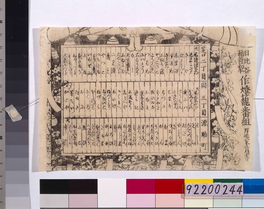
Hatsuuma at the Hibiya Inari Shrine (Hatsuuma Refers to the First Day of the Horse in February), Group of People Making aLantern
Edo-Tokyo Museum

Cultural Property Survey Photograph: Ōmori Shell Mounds
Edo-Tokyo Museum
Cultural Property Survey Photograph: Stone Coffins, Mogasakimura Tumulus, Natorigun
Edo-Tokyo Museum
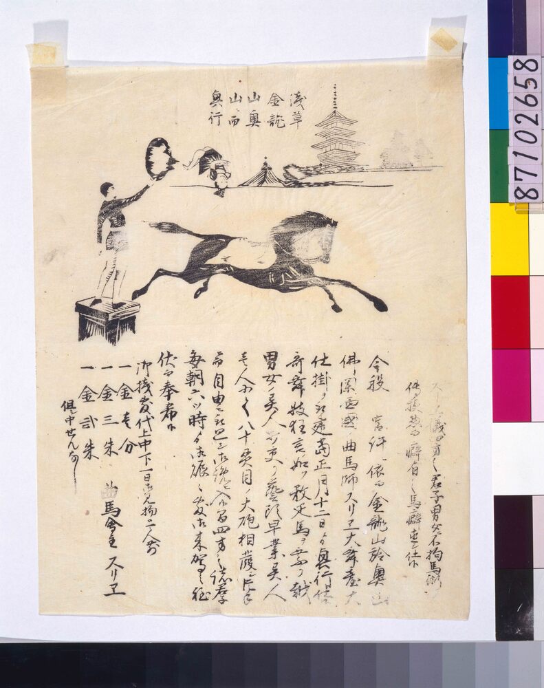
Performance Flyer: Equestrian Feats by Surie from France, Asakusa Kinryūzan Okuyama
Edo-Tokyo Museum
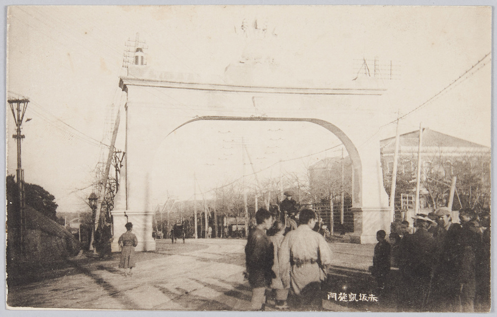
Triumphal Arch in Akasaka
Edo-Tokyo Museum
Postcard to Maeda Akira
Edo-Tokyo Museum
Lead Menko, Samurai
Edo-Tokyo Museum
Fugu to Mezashi no Monogatari 205
Edo-Tokyo Museum
Document of Contract
Edo-Tokyo Museum
The Nikkan Jijishashin, No. 2208
Edo-Tokyo Museum
Shashin Dōmei Tokuhō: Controversial Message from the U.S. President
Edo-Tokyo Museum
Asahi Shimbun, Evening Edition (No. 20031)
Edo-Tokyo Museum
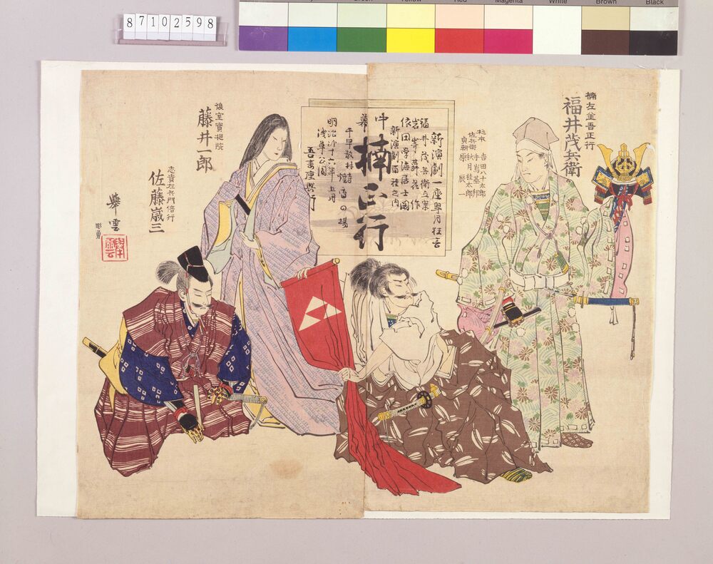
Flyer of Shimpa (New School) Theatrical Company, Kusunoki Masatsura, Azumaza Theater
Edo-Tokyo Museum
Kujira no Hanauta: “Kiken Nashi... To Mitomu” (Tokyo Shimbun)
Edo-Tokyo Museum
Shōkokumin Shimbun, No. 2964
Edo-Tokyo Museum
Private Document
Edo-Tokyo Museum