- Collection of
- Edo-Tokyo Museum
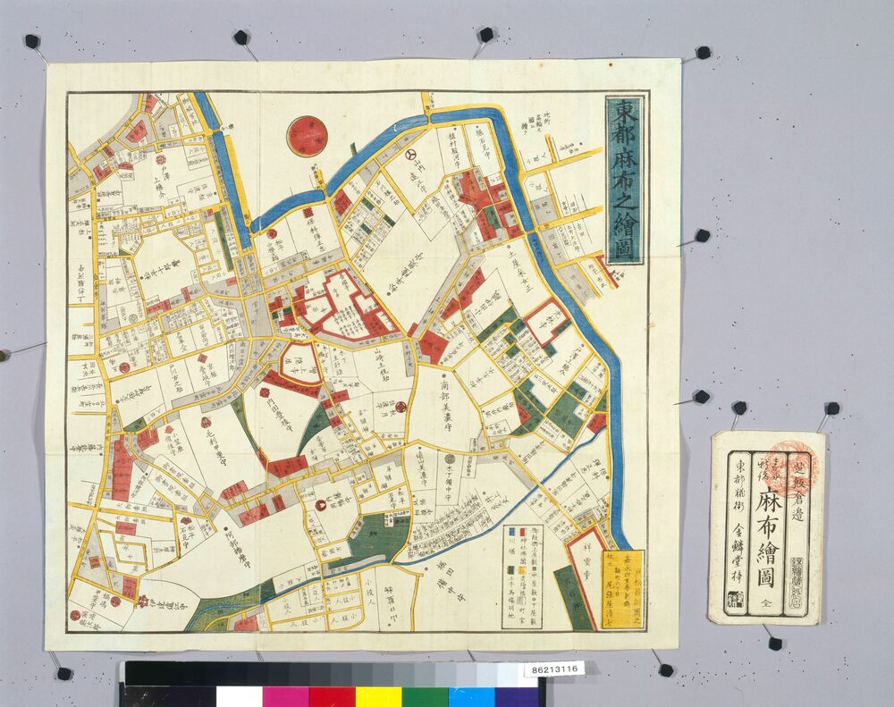
- Title
- Area Map of Edo by Owariya: Azabu
- Collection ID
- 86213116
- Category
- Printed Material
- Creation Date
- 1851 19世紀
- Size
- 46.0 cm x 49.7 cm
- Edo-Tokyo Museum Digital Archives
- https://www.edohakuarchives.jp/detail-167377.html
