- Collection of
- Edo-Tokyo Museum
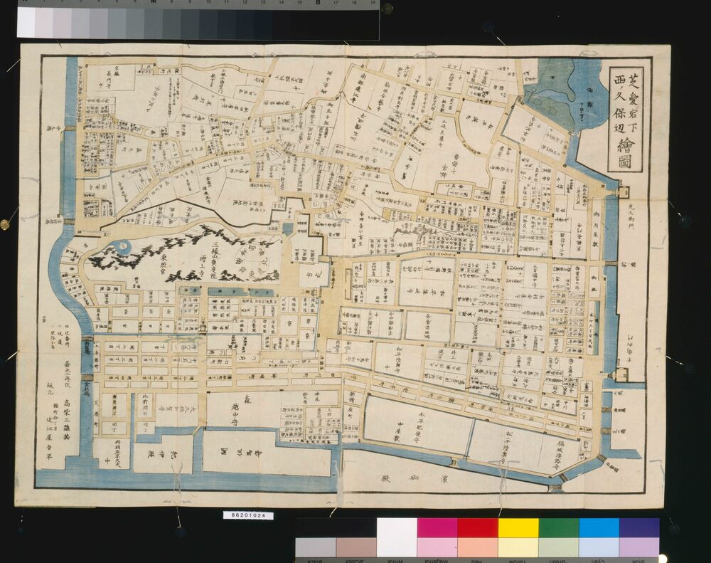
- Title
- Area Map of Edo by Ōmiya: Shiba Atagoshita Nishinokubo (Revised)
- Collection ID
- 86201024
- Category
- Printed Material
- Creation Date
- 1849 19世紀
- Size
- 44.8 cm x 63.7 cm
- Edo-Tokyo Museum Digital Archives
- https://www.edohakuarchives.jp/detail-166849.html
