
- Collection of
- Edo-Tokyo Museum
- Title
- Illustrated Map of Edo and Surrounding Areas, Revised During the Kaei Era
- Collection ID
- 87200072
- Category
- Printed Material
- Creation Date
- 1849 19世紀
- Size
- 100.7cm x 102.5cm
- Edo-Tokyo Museum Digital Archives
- https://www.edohakuarchives.jp/detail-156463.html
Other items of Edo-Tokyo Museum (159767)

Labels (Takasakiya Liquor Shop)
Edo-Tokyo Museum

Photo News on Political and Social Situations in Early Shōwa Period
Edo-Tokyo Museum
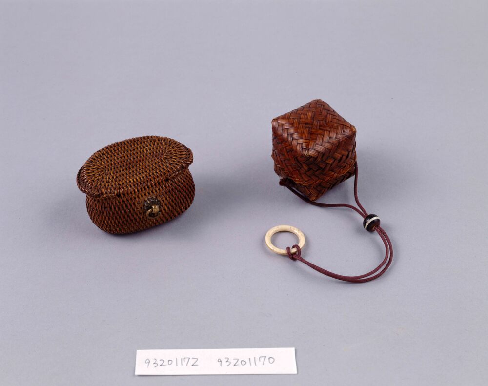
Box-shaped Bamboo Storage Case
Edo-Tokyo Museum
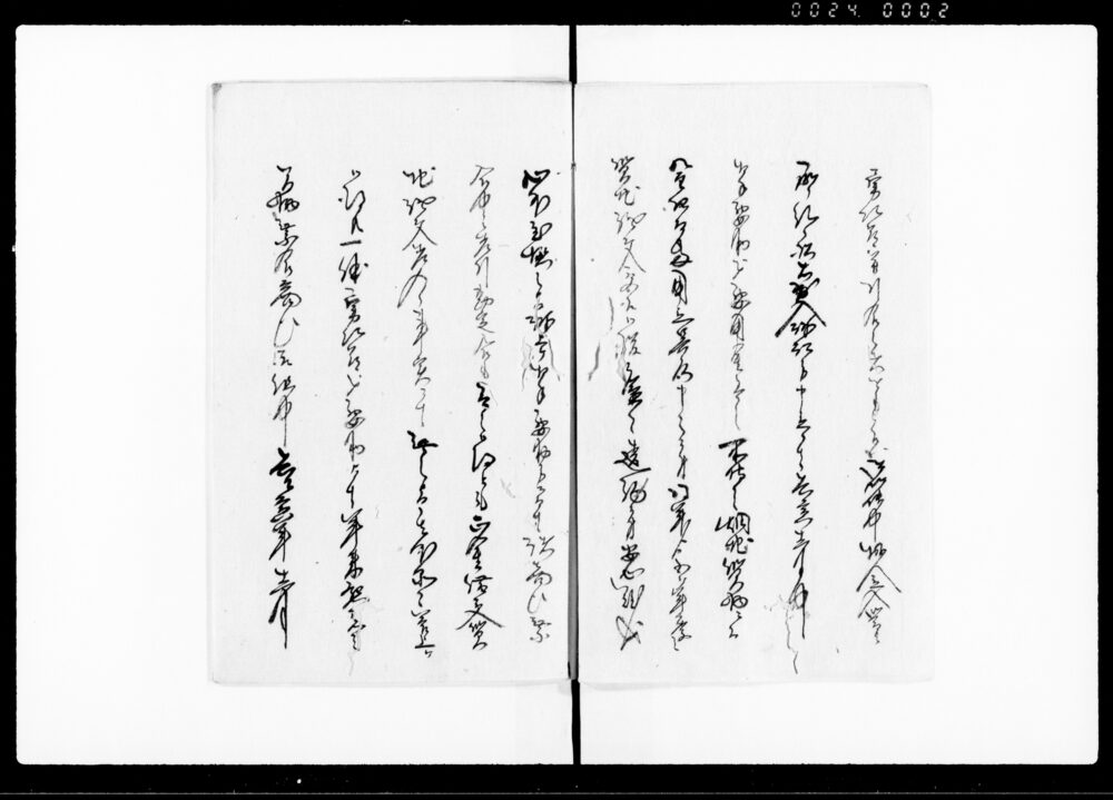
Document of Community
Edo-Tokyo Museum

Pamphlets: British India as the Automobile Sales Market, Material Type 3, No. 32 C (Supplement to "Sekai Keizai Kiroku," March Issue)
Edo-Tokyo Museum

Minamiza Theater Program for December 1953, The 2nd Festive Annual Kaomise Performances by Amateur
Edo-Tokyo Museum
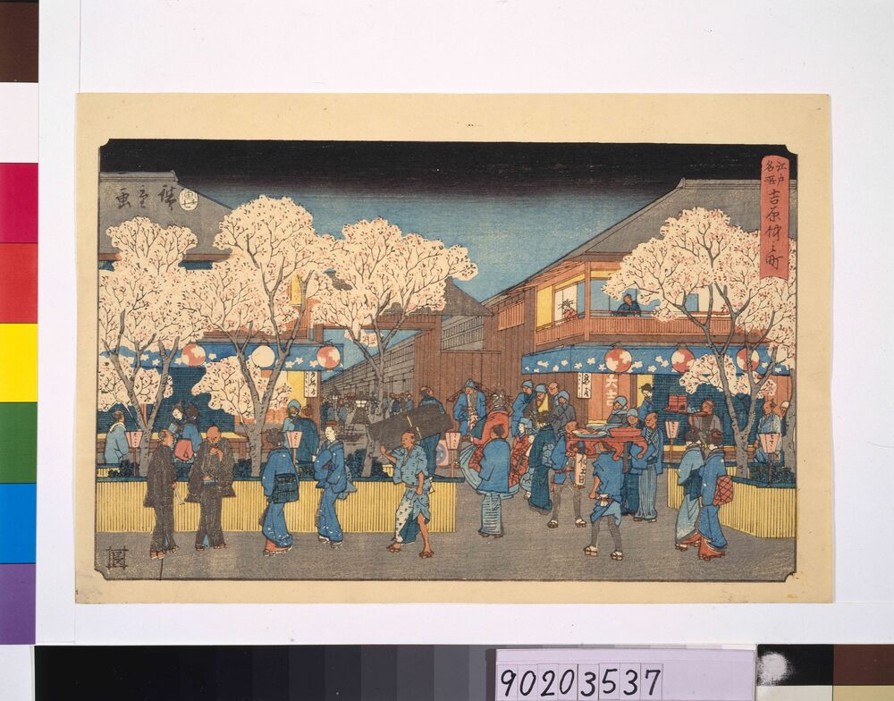
Famous Places in Edo: Yoshiwara Nakanocho Licensed Quarter
Edo-Tokyo Museum

Cultural Property Survey Photograph: Japanese Calligraphy by Sekishitsu Zenkyū, Geju (Buddhist Teachings in the Form of Poetry)
Edo-Tokyo Museum

Cultural Property Survey Photograph: Cornerstone
Edo-Tokyo Museum

True View of the Outside of the Imperial Palace Main Gate (Supplement to Tokyo Nichinichi Shimbun, No. 7259)
Edo-Tokyo Museum

Assorted Set of Noshi (Ceremonial Folded Paper)
Edo-Tokyo Museum
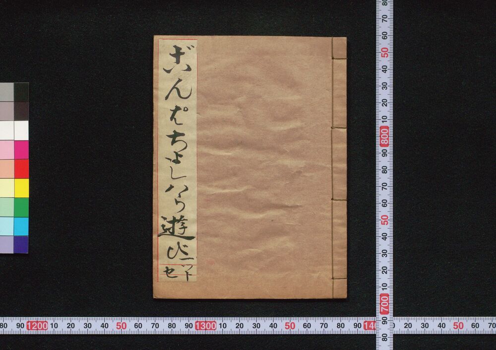
Gompachi Yoshiwara Asobi (Book of Kudokibushi Songs), 1
Edo-Tokyo Museum

Newspaper Clipping, May 1937: (1) Broad Beans, Kintonni, (2) Pomfret Grilled with Japanese Pepper
Edo-Tokyo Museum
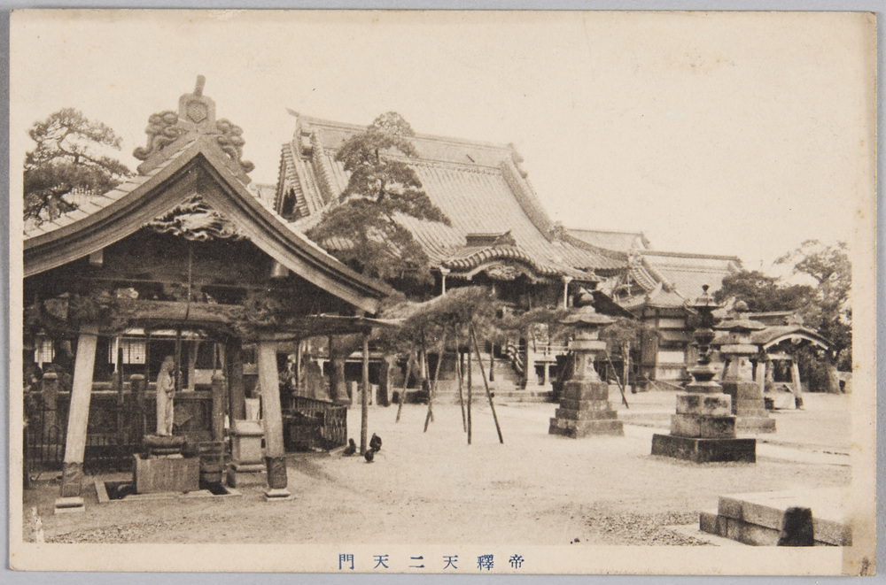
Nitenmon Gate, Taishakuten Temple
Edo-Tokyo Museum

Document of System
Edo-Tokyo Museum
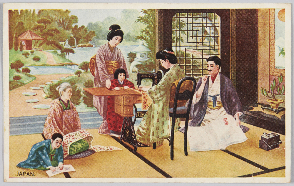
High-grade Singer Hand Crank Sewing Machine (Advertisement)
Edo-Tokyo Museum

