
1:25,000 Topographic Map of the Capital Region of Tokyo, N1~54~25~2~4 東京首部 1:25000 地形図 N1~54~25~2~4
国土地理院
- Collection of
- Edo-Tokyo Museum
- Title
- 1:25,000 Topographic Map of the Capital Region of Tokyo, N1~54~25~2~4
- Collection ID
- 87100920
- Category
- Printed Material
- Creation Date
- 1974 20世紀
- Size
- 45.9 cm x 57.0 cm
- Edo-Tokyo Museum Digital Archives
- https://www.edohakuarchives.jp/detail-151096.html
Other items of Edo-Tokyo Museum (159767)

Illustration: Bride
Edo-Tokyo Museum

Celluloid Doll, Baby (with Clothes)
Edo-Tokyo Museum

Betsuri
Edo-Tokyo Museum
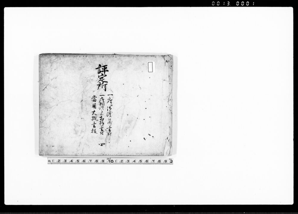
Document of Samurai Class
Edo-Tokyo Museum

Map of Tokyo City Suburbs: Nihombashi
Edo-Tokyo Museum

Hanafuda Card, President
Edo-Tokyo Museum
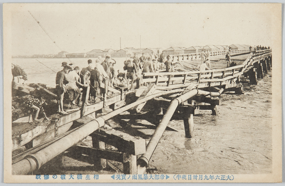
(Midnight on September 30th, 1917) Actual Scene of the Raging Rainstorm in the Imperial Capital: Scene of the Disaster of the Wreck of the Aioibashi Bridge
Edo-Tokyo Museum
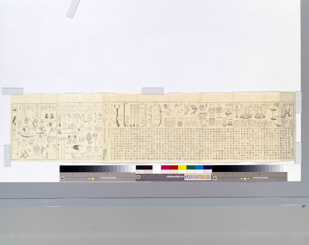
Bugu Tanka (Illustrated Guide to Wearing Armor and Helmet)
Edo-Tokyo Museum
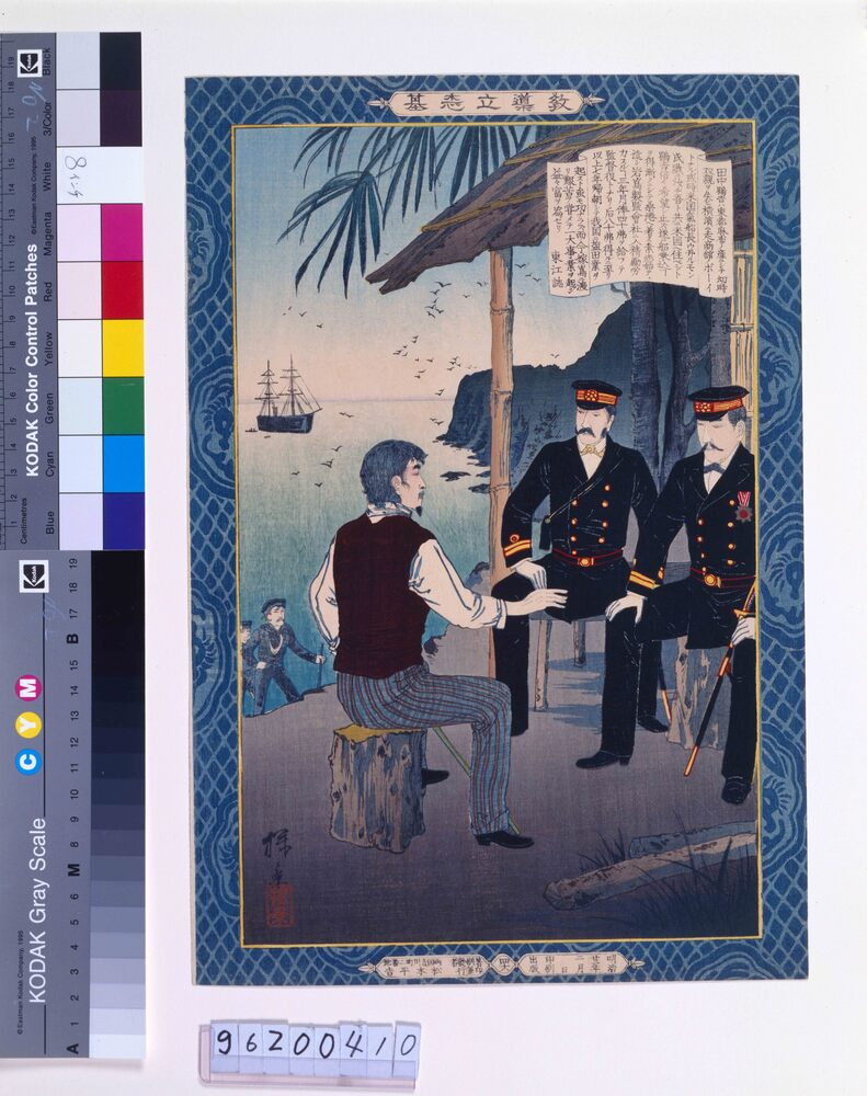
Edo-Tokyo Museum

Calendar, 1930, Kyūsei (Nine Traditional Astrological Signs in Onmyōdō)
Edo-Tokyo Museum

Shark Skin for Tsukamaki (Sword Handle Wrapping)
Edo-Tokyo Museum

Edo-Tokyo Museum
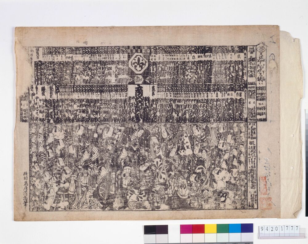
Playbill, a Ranking List of Kabuki Actors that Appeared (Nakamuraza Theater, 1827)
Torii Kiyomitsu
Edo-Tokyo Museum
Picture Postcards of the Exhibition Commemorating the Emperor's Visit to the Tokyofu 2nd Middle School
Edo-Tokyo Museum
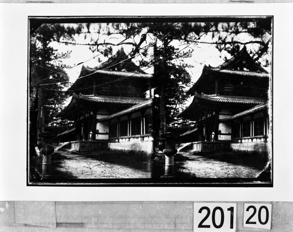
Horyuji Temple Inner Gate
Yokoyama Matsusaburo
Edo-Tokyo Museum
Edo-Tokyo Museum

