
- Collection of
- Edo-Tokyo Museum
- Title
- 1:25,000 Topographic Map of Tokorozawa
- Collection ID
- 87100918
- Category
- Printed Material
- Creation Date
- 1974 20世紀
- Size
- 45.9 cm x 57.0 cm
- Edo-Tokyo Museum Digital Archives
- https://www.edohakuarchives.jp/detail-151094.html
Other items of Edo-Tokyo Museum (159764)
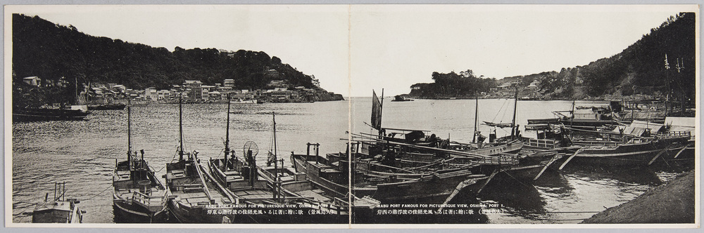
Picture Postcards of Landscapes of Ōshima Island
Edo-Tokyo Museum

Cultural Property Survey Photograph: Stone Buddha, Kyūshū
Edo-Tokyo Museum
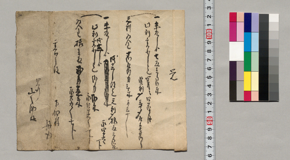
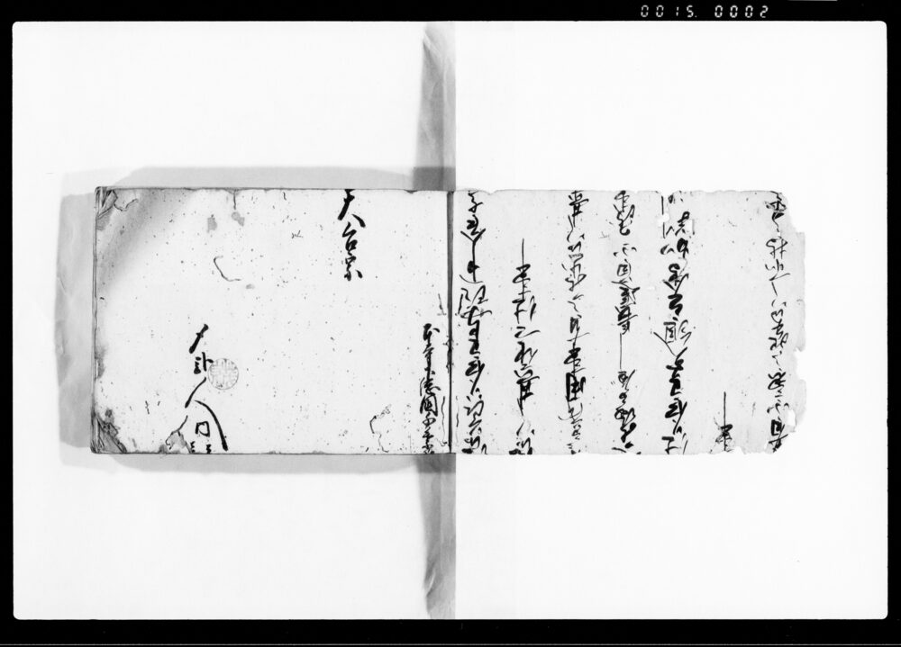
Document of Rural Area
Edo-Tokyo Museum
1 Sen Aluminum Coin with Design of Mt. Fuji
Edo-Tokyo Museum
Kabukiza Theater, February 1961 Performance Synopsis, Special Memorial Performance in Remembrance of Matsumoto Kōshirō VII
Edo-Tokyo Museum
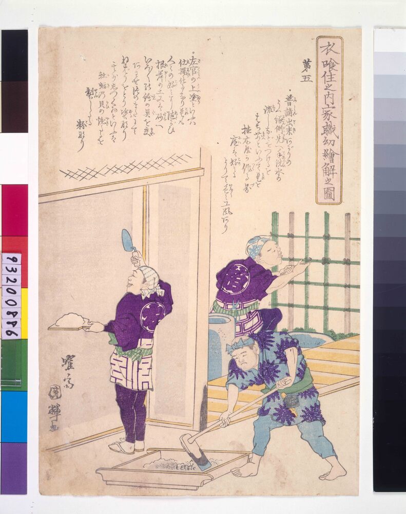
Picture for Children Depicting Occupations Concerned with Clothing, Food and Housing : No. 5, Plasterer
Utagawa Kuniteru Ⅱ
Edo-Tokyo Museum
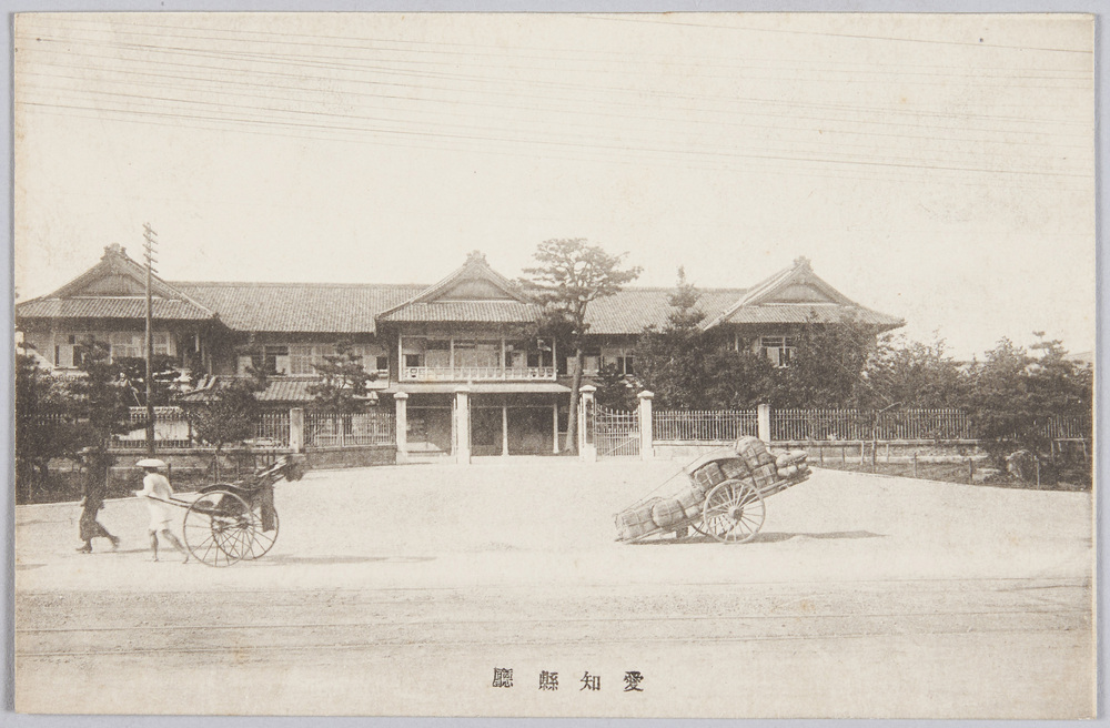
Aichi Prefectural Office
Edo-Tokyo Museum
Kuriko Gimlet
Edo-Tokyo Museum
Document of Saku District, Shinano Province
Edo-Tokyo Museum
Document of Rural Area
Edo-Tokyo Museum
Round Menko
Edo-Tokyo Museum
1:25,000 Topographic Map of Northern Kawagoe
Edo-Tokyo Museum
Tokyo Asahi Shimbun, No. 3665
Edo-Tokyo Museum
Stone Buddha
Edo-Tokyo Museum
Komageta (Low Wooden Clogs)
Edo-Tokyo Museum
Document of Townspeople
Edo-Tokyo Museum