
Tokyo City Plan Map, Fire Prevention and Vacant Land Districts Edition, Map 8, Kōtōku 東京都市計画図防火・空地地区編 第8図江東区
- Collection of
- Edo-Tokyo Museum
- Title
- Tokyo City Plan Map, Fire Prevention and Vacant Land Districts Edition, Map 8, Kōtōku
- Collection ID
- 87100811
- Category
- Printed Material
- Creation Date
- 1971 20世紀
- Size
- 109.2cm x 77.6 cm
- Edo-Tokyo Museum Digital Archives
- https://www.edohakuarchives.jp/detail-150984.html
Other items of Edo-Tokyo Museum (159767)

Photographic Collection of the Hōtoku Remains, Duplicate Photographs
Edo-Tokyo Museum
Hina Dōgu (Decorations Displayed with Hina Dolls): Tsunodaru (Two-handled Sake Keg)
Edo-Tokyo Museum
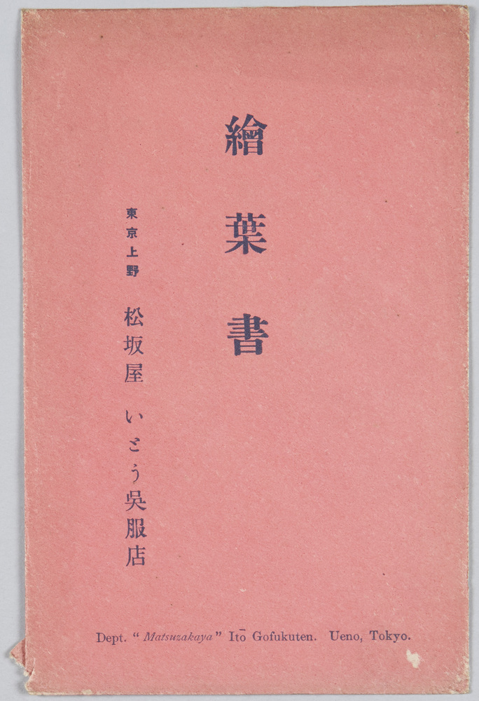
Picture Postcards, Ueno, Tokyo; Matsuzakaya, Itō Department Store
Edo-Tokyo Museum
Statue of Kannon (God of Mercy) and Seishinurebutsu (God Representing the Power of Wisdom) at Sensōji Temple
Edo-Tokyo Museum
Private Document
Edo-Tokyo Museum
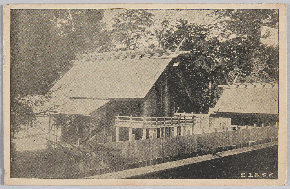
Main Hall of Inner Shrine
Edo-Tokyo Museum
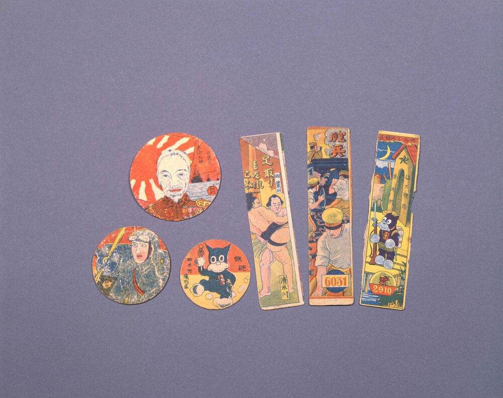
Toy: Round Menko, Admiral Tōgō
Edo-Tokyo Museum
[Documents Regarding Land Readjustments in the Fifth District]
Edo-Tokyo Museum
Hand Towel Pattern: Noren Curtain and Yaeuraumemon Family Crest, Nakamura Komaju
Edo-Tokyo Museum
Notification of Admission for School-age Children (Issued by the Deputy Mayor of Atsumichō)
Edo-Tokyo Museum
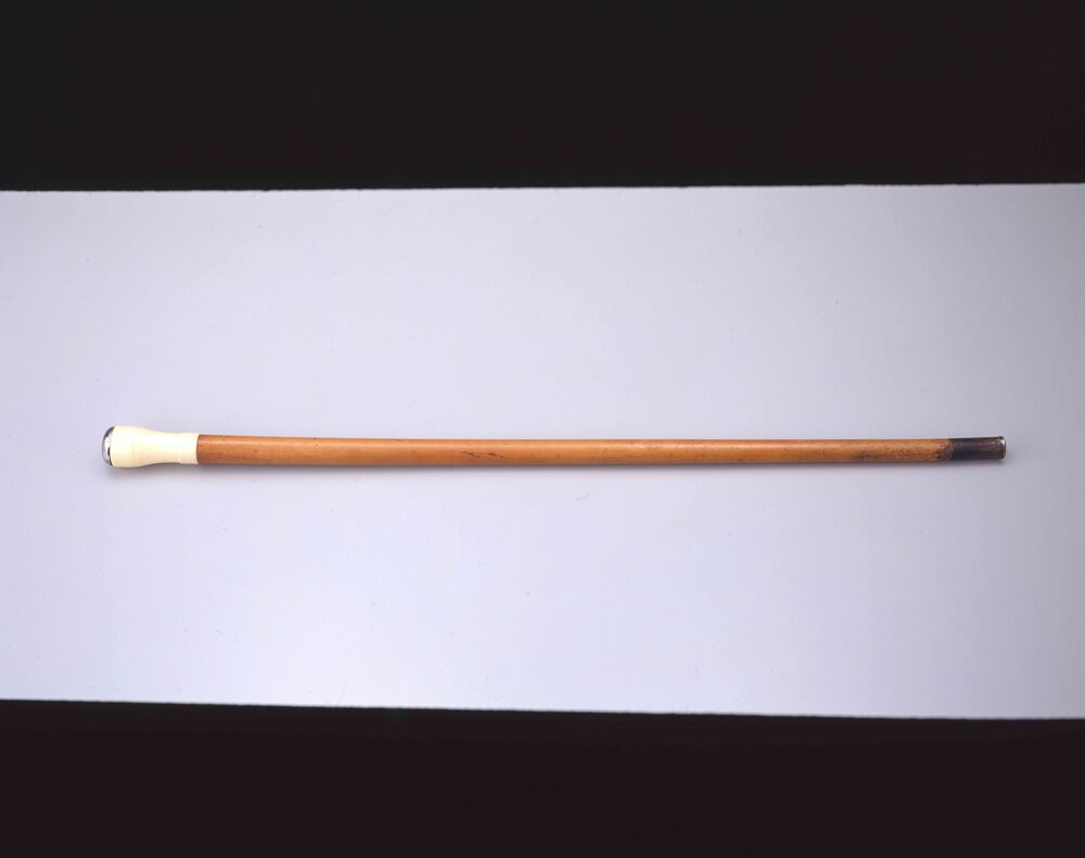
Walking Stick with Clock
Edo-Tokyo Museum
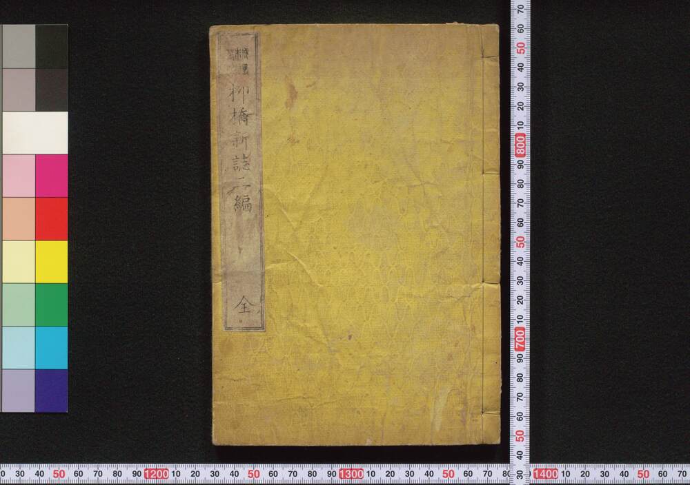
Ryūkyō Shinshi (Essays on Customs of Yanagibashi District), Part 2
Edo-Tokyo Museum
Plastic Taneita (Original Slides) of Utsushi-e (Magic Lantern Show): "Kiyohime at the Hidaka River"
Edo-Tokyo Museum
Edo-Tokyo Museum
Advanced Course Japanese Textbook
Edo-Tokyo Museum
Edo-Tokyo Museum