
Detailed Map of Setagayaku from the Maps of the 35 Wards of Greater Tokyo, With Transportation Map of Greater Tokyo 大東京区分図三十五区之内 世田谷区詳細図 附大東京交通地図
植野録夫
- Collection of
- Edo-Tokyo Museum
- Title
- Detailed Map of Setagayaku from the Maps of the 35 Wards of Greater Tokyo, With Transportation Map of Greater Tokyo
- Collection ID
- 87100513
- Category
- Printed Material
- Creation Date
- 1932 20世紀
- Size
- 82.0 cm x 78.0 cm
- Edo-Tokyo Museum Digital Archives
- https://www.edohakuarchives.jp/detail-150684.html
Other items of Edo-Tokyo Museum (159767)
Document of Rural Area
Edo-Tokyo Museum

Photographs of the Great Kantō Earthquake (Azumabashi Bridge Area)
Edo-Tokyo Museum
Document of Rural Area
Edo-Tokyo Museum
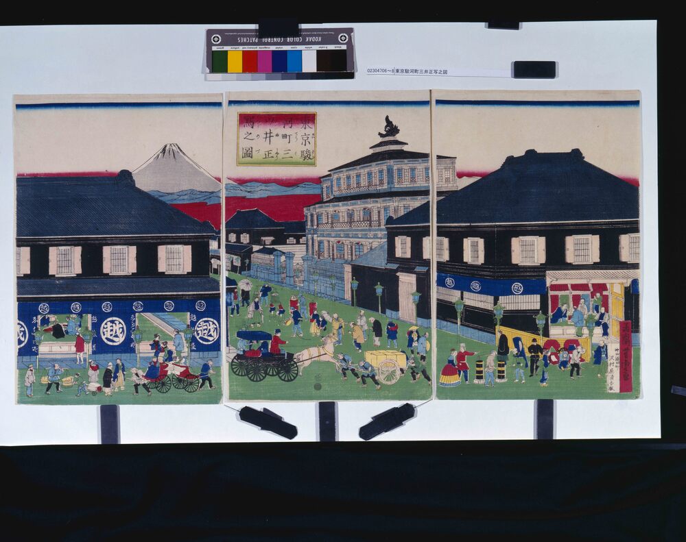
Edo-Tokyo Museum

Guidelines for Home Air Defense and Fire Fighting
Edo-Tokyo Museum
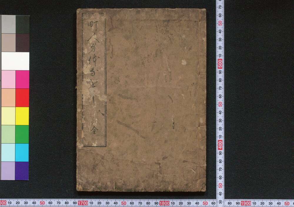
Chōnin Shindai Naoshi (Book of Shingaku Teachings)
Edo-Tokyo Museum

Paper Box, Lion Tooth Paste
Edo-Tokyo Museum

Photo News on Political and Social Situations in Early Shōwa Period
Edo-Tokyo Museum

List of Timber for Nanzōin
Edo-Tokyo Museum

Private Document
Edo-Tokyo Museum

Edo-Tokyo Museum

Pamphlet of Performance in May 1984 at Meijiza Theater: Yamamoto Fujiko May Special Performance, Yushima no Shiraume, Dance, and Hanakurabe Nishikiesugata
Edo-Tokyo Museum

Juban Undergarment (For Children)
Edo-Tokyo Museum
Sleeping Children
Edo-Tokyo Museum
Hiinagata Ōmuseki (Kimono Patterns: Ōmuseki)
Edo-Tokyo Museum

Exhibits of the 10th Imperial Art Academy Exhibition
Edo-Tokyo Museum

