
Newly Illustrated in the Kaei Era, Complete Map of the Provinces, Districts and Routes of Japan 嘉永新絵 大日本国郡輿地全図
高柴英三雄/誌
- Collection of
- Edo-Tokyo Museum
- Title
- Newly Illustrated in the Kaei Era, Complete Map of the Provinces, Districts and Routes of Japan
- Collection ID
- 87100014
- Category
- Printed Material
- Creation Date
- 1849 19世紀
- Size
- 71.8 cm x 141.2cm
- Edo-Tokyo Museum Digital Archives
- https://www.edohakuarchives.jp/detail-150320.html
Other items of Edo-Tokyo Museum (159767)

Ruins
Edo-Tokyo Museum

Account of the Lives of Emperors
Edo-Tokyo Museum

Tokyo Gekijō Theater Program for December 1933, Grand Joint Shimpa Performances in December
Edo-Tokyo Museum
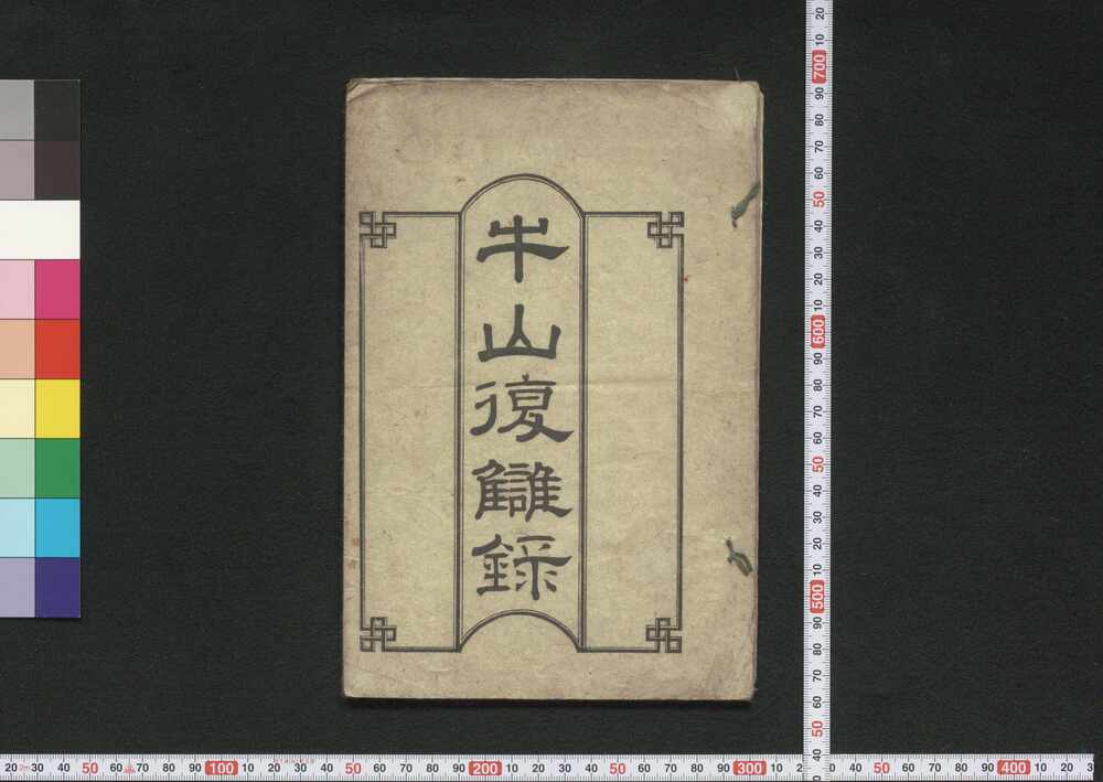
Gyūzan Fukushūroku (Book of History)
Edo-Tokyo Museum

Paring Chisel
Edo-Tokyo Museum
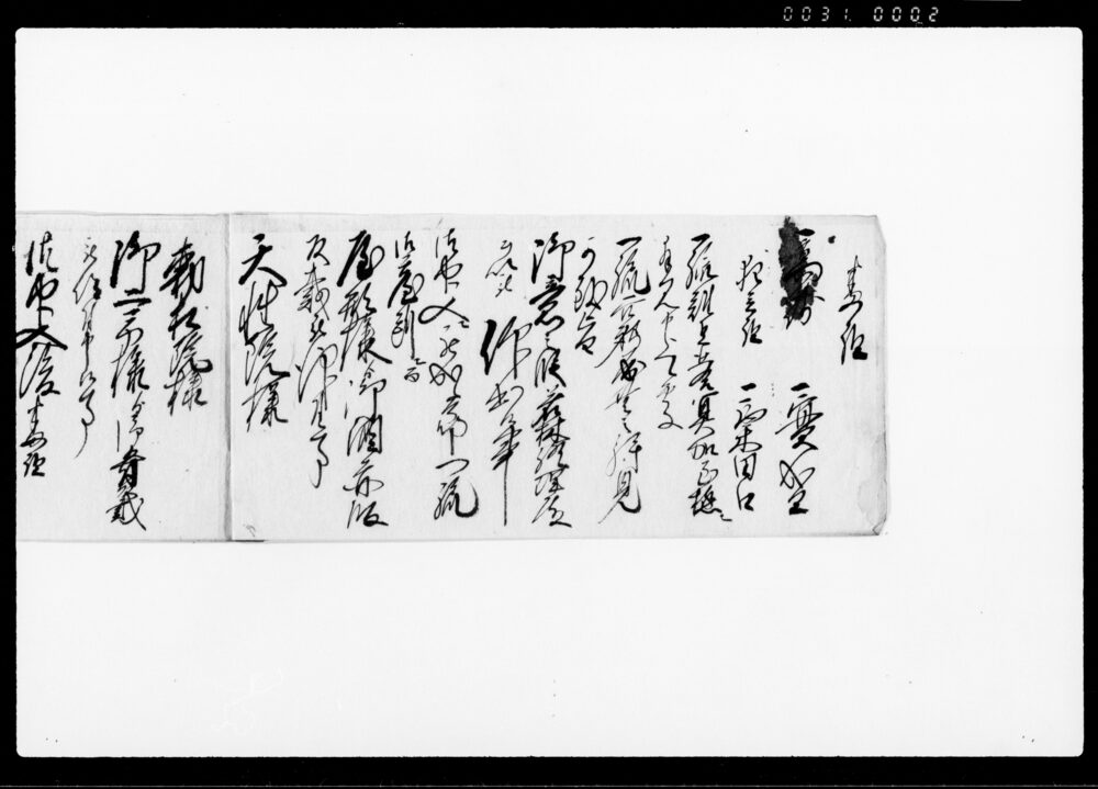
Document of Samurai Class
Edo-Tokyo Museum

Flyer for Columbia’s Televisions (e.g., 17-T3 Model)
Edo-Tokyo Museum
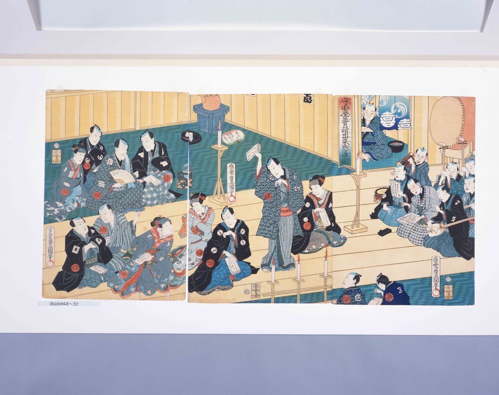
The Through Rehearsal at the Completion of the Moritaza Theater
Edo-Tokyo Museum

History of Metropolitan Residents and Metropolitan Government, Tokyo 20 Years, History of Metropolitan Government (Complete History), Part 3
Edo-Tokyo Museum

50 Sen Coin
Edo-Tokyo Museum
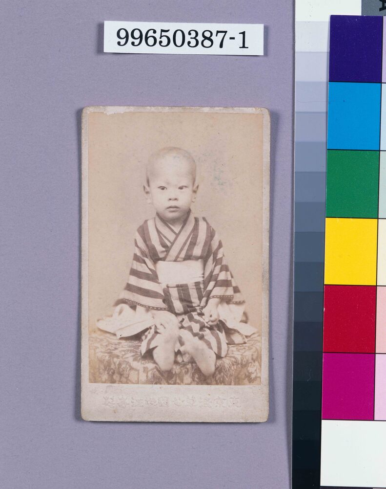
Edo-Tokyo Museum

Ground Plan for the District No. 12
Edo-Tokyo Museum

Document of Contract
Edo-Tokyo Museum

Tabokaki (Hair Dressing Comb)
Edo-Tokyo Museum
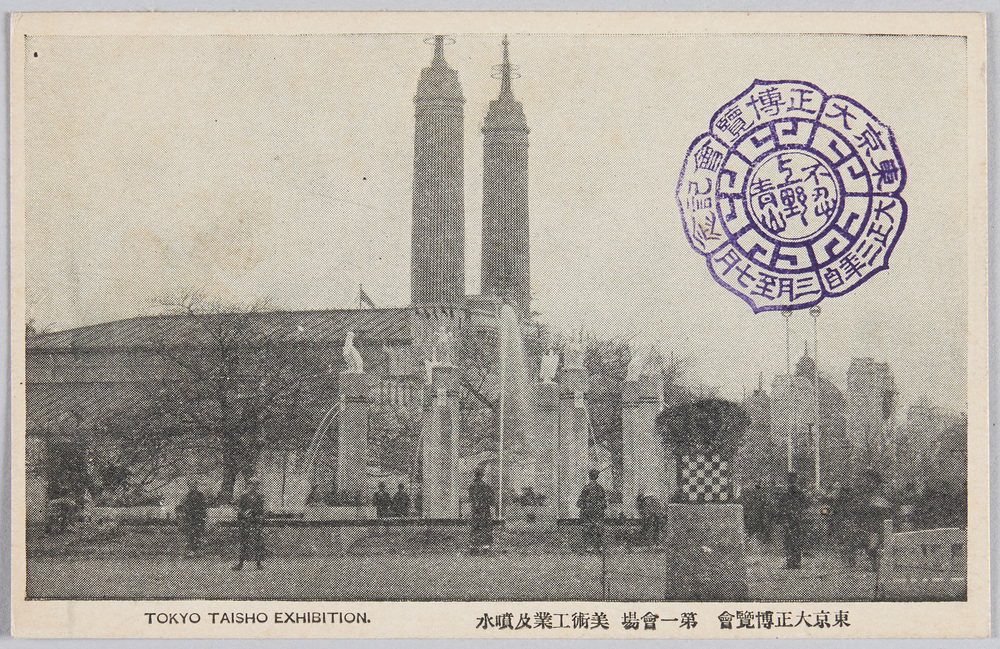
Tokyo Taishō Exposition Site No. 1: Art and Industry Pavilions and Fountain
Edo-Tokyo Museum

Script of Performance in November 1978 at Meijiza Theater: Autumn Performance, Miyamoto Musashi, Sennensugi no Maki
Edo-Tokyo Museum

