
Map of the Southwestern Part of Chitose (Kitatamagun, Chitosemura, Kinutamura, 32-6) 千歳西南部地図(北多摩郡千歳村砧村 三十二号ノ六)
- Collection of
- Edo-Tokyo Museum
- Title
- Map of the Southwestern Part of Chitose (Kitatamagun, Chitosemura, Kinutamura, 32-6)
- Collection ID
- 85200220
- Category
- Printed Material
- Creation Date
- 1929 20世紀
- Size
- 49.5 cm x 59.0 cm
- Edo-Tokyo Museum Digital Archives
- https://www.edohakuarchives.jp/detail-147467.html
Other items of Edo-Tokyo Museum (159767)

Picture Scroll on the Enthronement of Emperor Taishō
Edo-Tokyo Museum
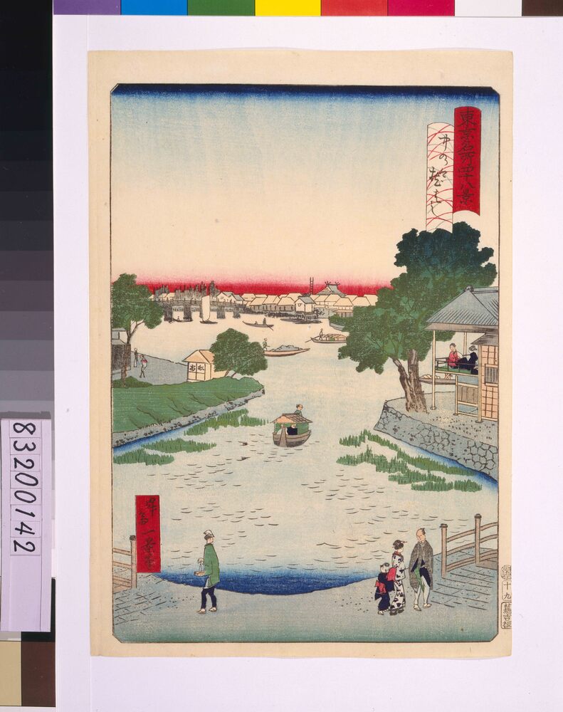
Forty-Eight Famous Views of Tokyo: Makurabashi Bridge at Nakanogo
SHOSAI Ikkei
Edo-Tokyo Museum
Edo-Tokyo Museum
Tokyo Rakugo, Illustration of Kappa: Playing Battledore and Shuttlecock
Edo-Tokyo Museum
Edo-Tokyo Museum
Copper Grater
Edo-Tokyo Museum
Itoami Net (For Sericulture)
Edo-Tokyo Museum
Example
Edo-Tokyo Museum
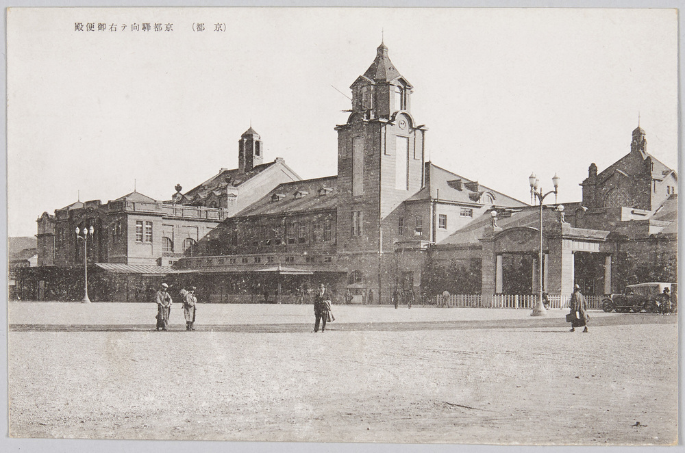
(Kyoto) Gobinden (Emperor's Temporary Place of Sojourn) on the Right Side of Kyoto Station
Edo-Tokyo Museum
Zoku Fugu to Mezashi no Monogatari 165
Edo-Tokyo Museum
Private Document
Edo-Tokyo Museum
Newspaper Clipping, December 1936: Preparing for the New Year by Decorating the House
Edo-Tokyo Museum
Private Document
Edo-Tokyo Museum
Private Document
Edo-Tokyo Museum
Private Document
Edo-Tokyo Museum
Skies of a Nation at War, By Kobayakawa Shūsei
Edo-Tokyo Museum