
Map of the Western Part of Takaido (Tokyoshi, Setagayaku, Suginamiku, Kitatamagun, Mitakamura, 24-6) 高井戸西部地図(東京市世田谷区杉並区北多摩郡三鷹村 二十四号ノ六)
- Collection of
- Edo-Tokyo Museum
- Title
- Map of the Western Part of Takaido (Tokyoshi, Setagayaku, Suginamiku, Kitatamagun, Mitakamura, 24-6)
- Collection ID
- 85200187
- Category
- Printed Material
- Creation Date
- 1939 20世紀
- Size
- 49.5 cm x 59.0 cm
- Edo-Tokyo Museum Digital Archives
- https://www.edohakuarchives.jp/detail-147434.html
Other items of Edo-Tokyo Museum (159764)
![作品画像:[米数書上断簡]](https://museumcollection.tokyo/wp-content/uploads/2025/07/1025910-L.jpg)
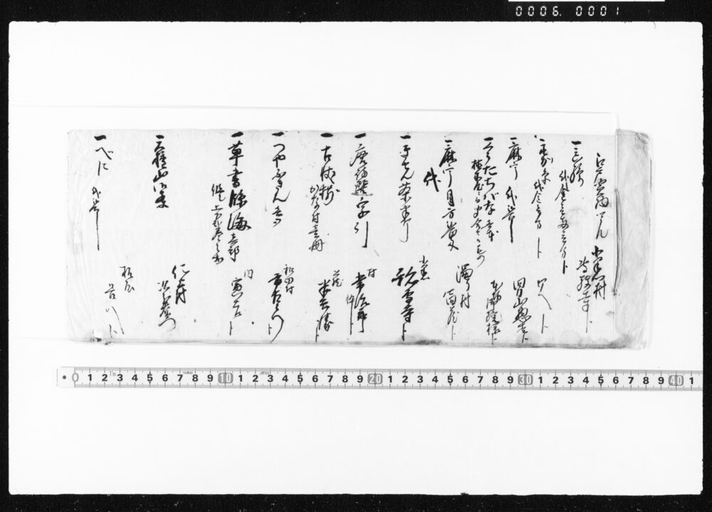
Document of Rural Area
Edo-Tokyo Museum

Meal Tray and Dish Set: Soup Bowl
Edo-Tokyo Museum
Telescope
Edo-Tokyo Museum
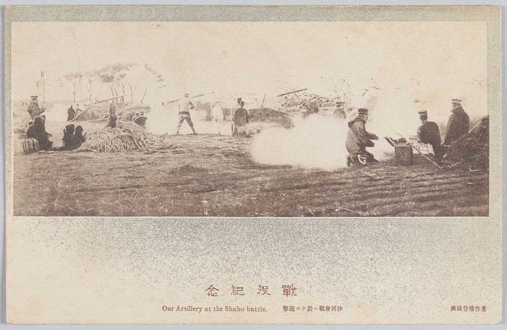
Commemoration of the War: Artillery Attack at the Battle of Shaho
Edo-Tokyo Museum
Newspaper Clipping: “Duplicate Statue of Benten Deity on Enoshima Island Goes to South America”
Edo-Tokyo Museum
Zoku Fugu to Mezashi no Monogatari 98
Edo-Tokyo Museum
Document of Industry
Edo-Tokyo Museum
Document of Rural Area
Edo-Tokyo Museum
Document of Laws
Edo-Tokyo Museum
Revised Travel Handbook
Edo-Tokyo Museum
Map of the Southeast End of Kasai (Minamikatsushikagun, Kasaimura, 38-9)
Edo-Tokyo Museum
Cultural Property Survey Photograph: Bird-shaped Haniwa (Hollow Clay Sculpture)
Edo-Tokyo Museum
Kabukiza Theater, August 1966 Performance Synopsis, Minami Haruo Special Performance
Edo-Tokyo Museum
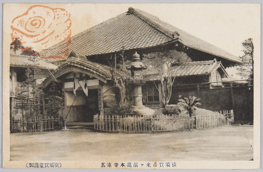
Yonegahama Ryūhonji Temple, Yokosukashi
Edo-Tokyo Museum
Document of Community
Edo-Tokyo Museum
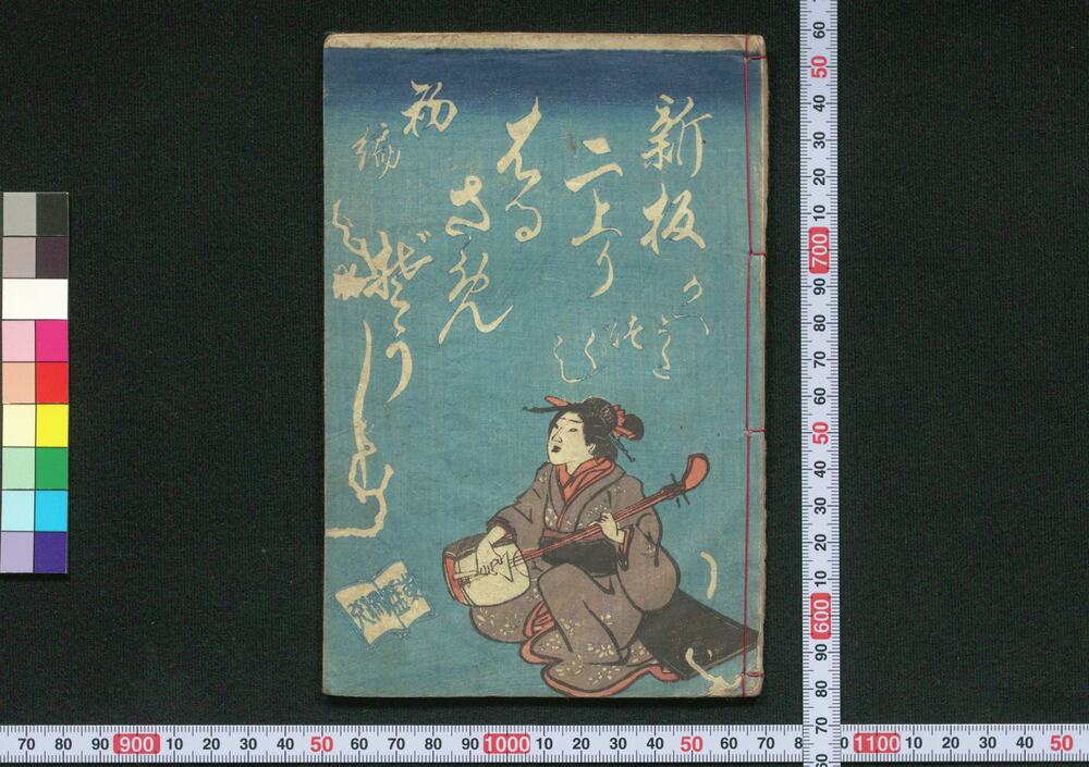
Shimban Niagari Harusame Zōshi (Book of Dodoitsu Songs), Part 1
Edo-Tokyo Museum