
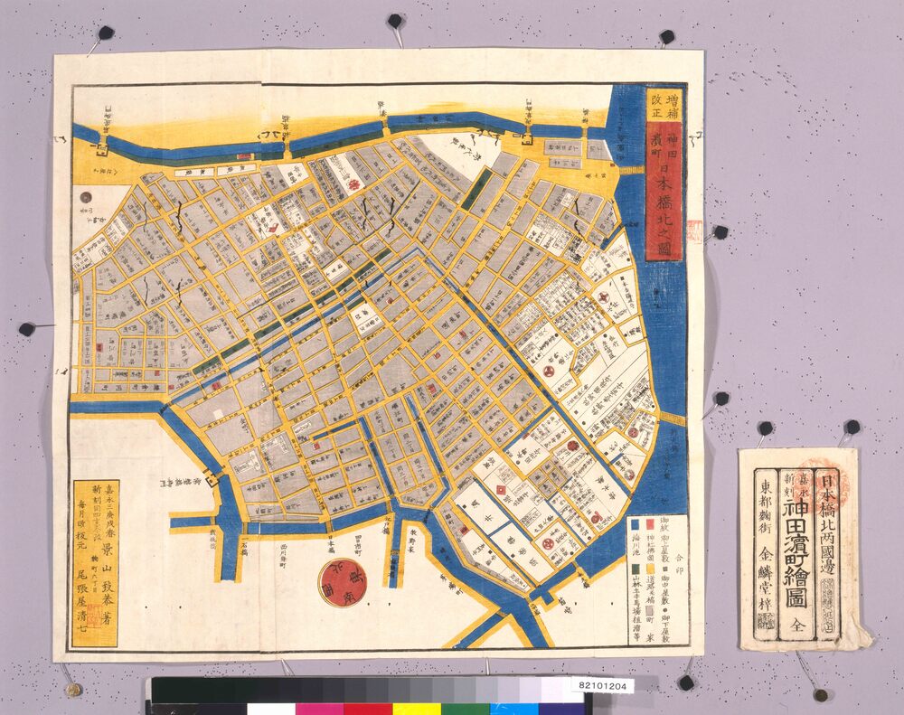
Edo Kirie Zu Area Maps by Owariya, North Nihombashi, Kanda and Hamachō Area Map 尾張屋版江戸切絵図 日本橋北神田浜町絵図
景山致恭/著
- Collection of
- Edo-Tokyo Museum
- Title
- Edo Kirie Zu Area Maps by Owariya, North Nihombashi, Kanda and Hamachō Area Map
- Collection ID
- 82101204
- Category
- Printed Material
- Creation Date
- 1850 19世紀
- Size
- 49.9 cm x 53.2 cm
- Edo-Tokyo Museum Digital Archives
- https://www.edohakuarchives.jp/detail-145195.html
Other items of Edo-Tokyo Museum (159805)

Iron
Edo-Tokyo Museum

Document of Laws
Edo-Tokyo Museum

1:10,000 Topographic Map of Northern Osaka
Edo-Tokyo Museum

Tokyo Western Tama Area Slide: Fusaiji Temple's Garden, Tachikawa
Edo-Tokyo Museum

The 3rd Calculation Report
Edo-Tokyo Museum

Fabric Cutter
Edo-Tokyo Museum

Mentaki (Female Waterfall, Counterpart of a Pair of Waterfalls) along the Nunobiki Mountain Stream, Kobe
Edo-Tokyo Museum

Candlestick
Edo-Tokyo Museum

Photograph of Utsushi-e: Jimbei Standing and Holding an Oar, and Others (“Jimbei Ferrying Sōgorō Act from Asakura Zōshi Kaede no Tanzaku”)
Edo-Tokyo Museum

“Photograph Collection of Historic Sites of Hōtoku”, Title Page
Edo-Tokyo Museum

Photographic Collection of Local Educational Materials "Glorious Kanagawaken": 147. Yabusame (Horseback Archery), Kamakura
Edo-Tokyo Museum

Circular Bulletin of Tonarigumi (Neighborhood Association) in Minatochō, Kyōbashiku: Tonarigumi Kaihō, Accomplishing the Greater East Asia War, Regarding the Campaign of 100 Million Total Enrollment for the Postal Life Insurance
Edo-Tokyo Museum

Edo-Tokyo Museum

Scenic Beauties of Oyashirazu
Edo-Tokyo Museum

1 Sen Tin Coin 43
Edo-Tokyo Museum

Private Document
Edo-Tokyo Museum