
Area Map of Edo by Kichimonjiya: Yanaka, Hongō, Maruyama, and Koishikawa Area 吉文字屋版江戸切絵図 谷中本郷丸山小石川辺之図
米山鼎峨/書
- Collection of
- Edo-Tokyo Museum
- Title
- Area Map of Edo by Kichimonjiya: Yanaka, Hongō, Maruyama, and Koishikawa Area
- Collection ID
- 91221106
- Category
- Printed Material
- Creation Date
- 1770 18世紀
- Size
- 46.8 cm x 63.4 cm
- Edo-Tokyo Museum Digital Archives
- https://www.edohakuarchives.jp/detail-77831.html
Other items of Edo-Tokyo Museum (159764)
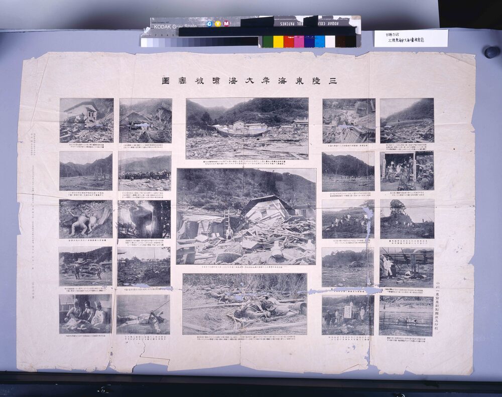
Pictures of the Damage Caused by the Great Tidal Bore at the Sanriku East Coast
Edo-Tokyo Museum

Miniature Toy: Tōfu Shop
Edo-Tokyo Museum
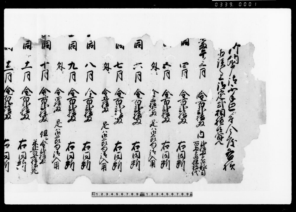
Document of Contract
Edo-Tokyo Museum
Zamondō Ritual at Kōnomachi Festival, Mt. Kamisoroi
Edo-Tokyo Museum
Document of Laws
Edo-Tokyo Museum
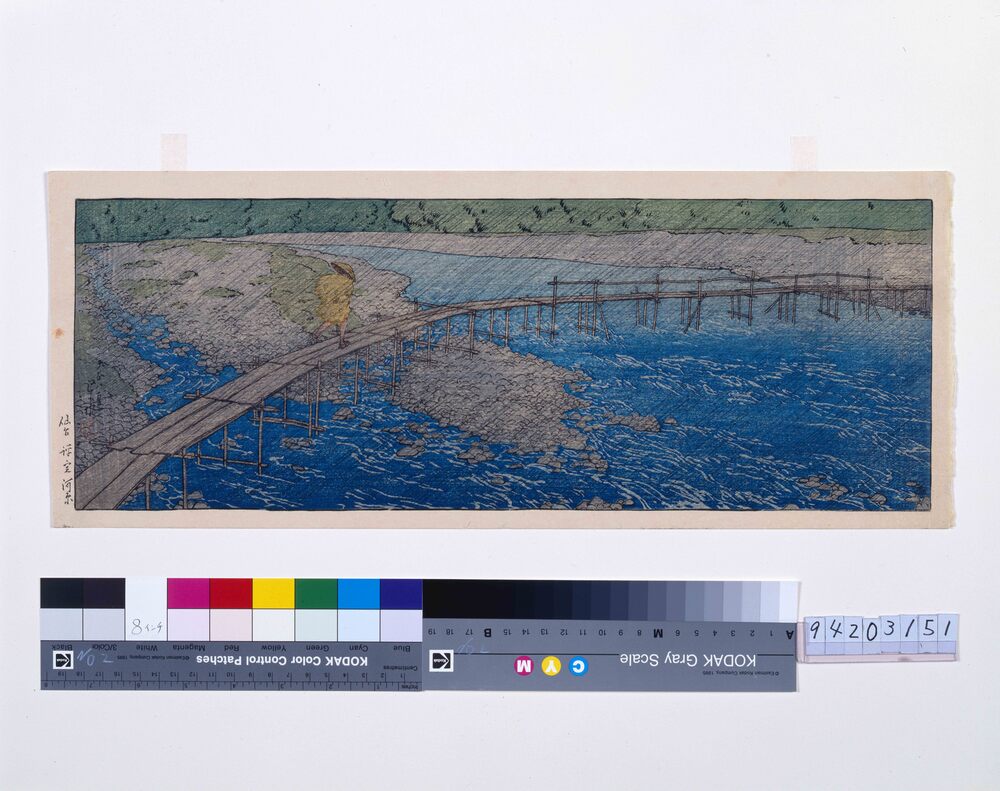
Hyojogawara Riverbed, Sendai
Kawase Hasui
Edo-Tokyo Museum
Scrapbook Clippings of Pharmaceutical Advertisements, Salomethyl and Others
Edo-Tokyo Museum
Land Certificate
Edo-Tokyo Museum
Ruins
Edo-Tokyo Museum
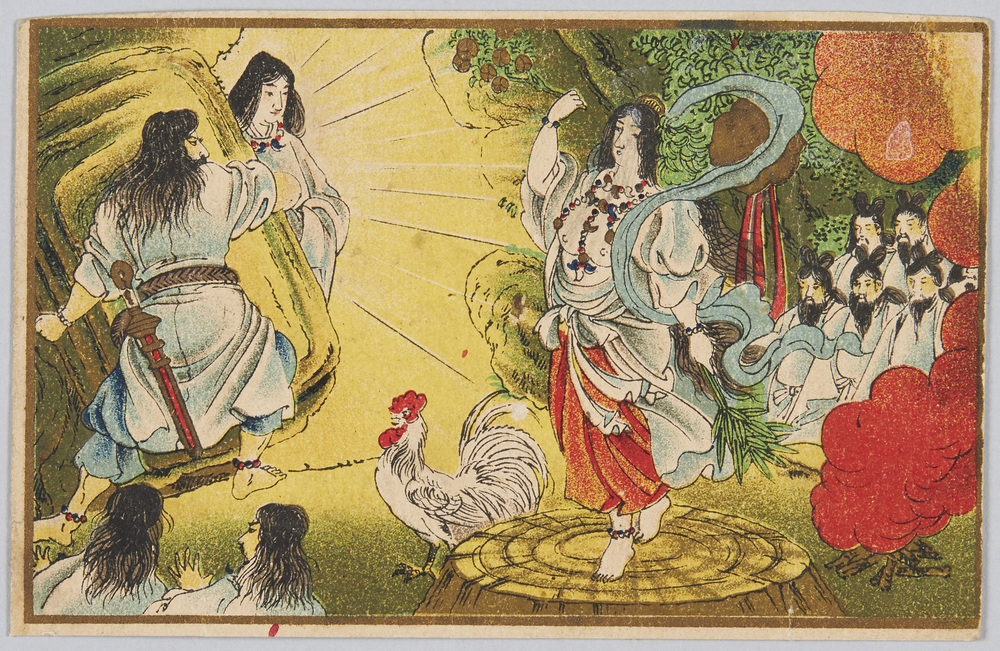
Amaterasu Ōmikami (Sun-Goddess) Is Furious about Outrageous Behavior of Her Younger Brother, Susanoo no Mikoto, and Shuts Herself Inside the Ame no Iwato (Heaven's Rock Cave); Tajikarao no Mikoto Opens the Cave Door and Takes Her Out of the Cave
Edo-Tokyo Museum
Airborne Flyer Propaganda, “China shall not Surrender”
Edo-Tokyo Museum
Abridged Calendar for 1884
Edo-Tokyo Museum
Watakushi wa Deshi de Aru (5th), Title
Edo-Tokyo Museum
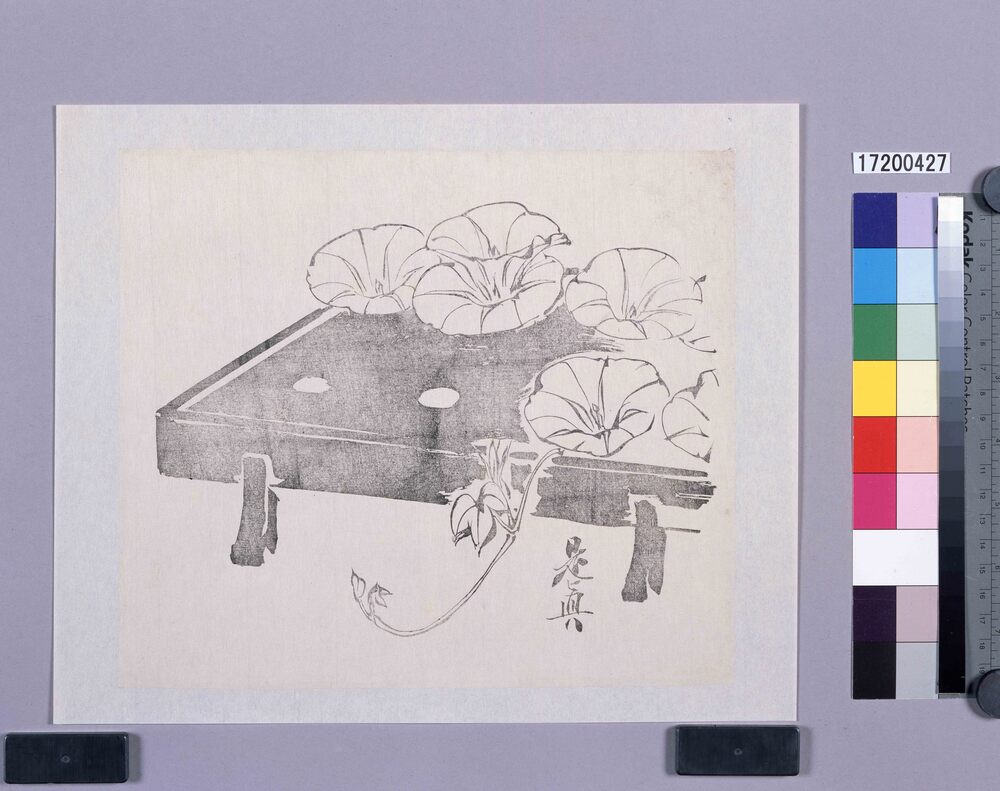
Black Print: Morning Glories on a Serving Tray (Shibata Zeshin's Block Print, Black Print, Other Prints)
Shibata Zeshin
Edo-Tokyo Museum
Latest Detailed Map of Prefectures, Complete Map of Ishikawaken
Edo-Tokyo Museum
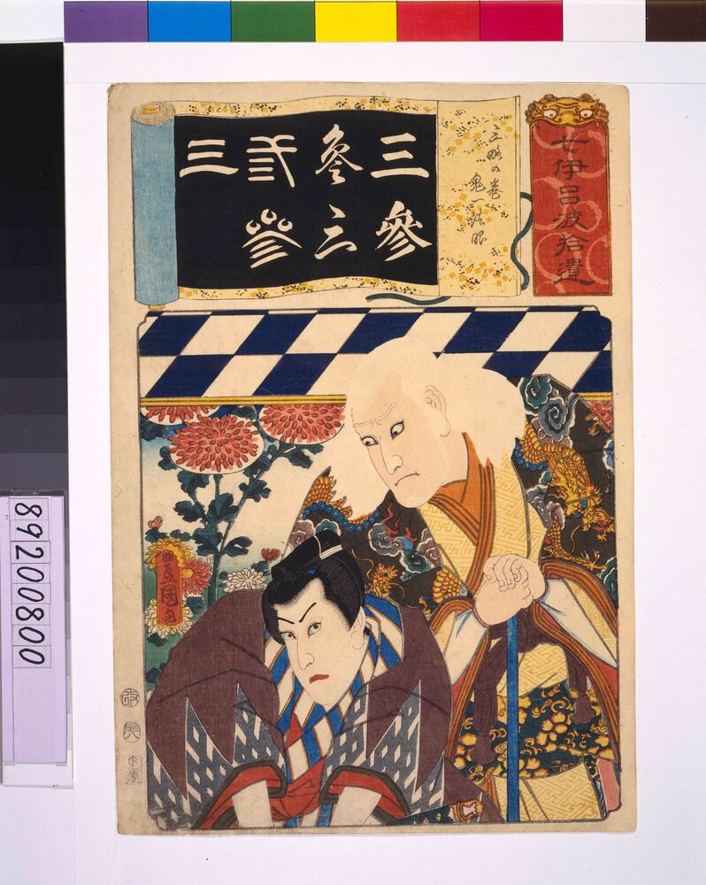
Addendum to the Seven Variations of the 'Iroha' Alphabet: '3' as in 'Sanryaku no Maki'. Role: Kiichi Hogen
UTAGAWA Toyokuni III
Edo-Tokyo Museum