
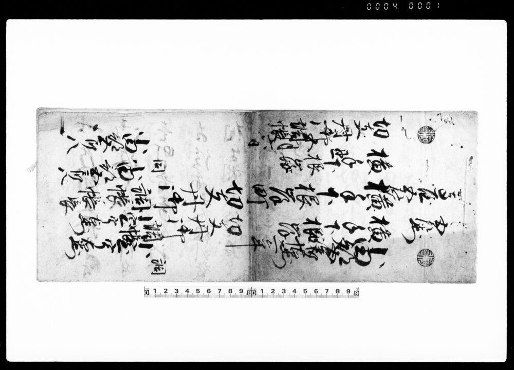
Illustrated Map of Shimowake, Narukimura, Tamagun, Musashi Province, Map of Land Tax Reform in 1875 武蔵国多摩郡上成木村下分絵図 明治八年地租改正図
川口昌蔵/供用
- Collection of
- Edo-Tokyo Museum
- Title
- Illustrated Map of Shimowake, Narukimura, Tamagun, Musashi Province, Map of Land Tax Reform in 1875
- Collection ID
- 89205270
- Category
- Document
- Creation Date
- 1875 19世紀
- Size
- 78.5 cm x 131.5cm
- Edo-Tokyo Museum Digital Archives
- https://www.edohakuarchives.jp/detail-102934.html
Other items of Edo-Tokyo Museum (159764)

Document of Laws
Edo-Tokyo Museum
Wrapper for “Hibiki” Cigarettes
Edo-Tokyo Museum
Winnowing Basket
Edo-Tokyo Museum
Kabukiza Theater, February 1990 Performance Synopsis
Edo-Tokyo Museum
Record: Hahago Voruga, Yoru
Edo-Tokyo Museum
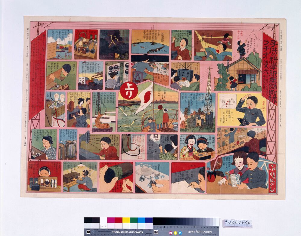
Radio Sugoroku Board (Supplement to “Kodomo no Kagaku” Volume 3 No. 1)
Harada Mitsuo
Edo-Tokyo Museum
Pamphlet of Performance in February 1957 at Meijiza Theater: Shinkokugeki, Doyagai, Hyakutarō Sawagi, Hodaka, and Maruhashi Chūya
Edo-Tokyo Museum
The Home Weekly, No. 773
Edo-Tokyo Museum
Cultural Property Survey Photograph: Azuchi Castle Ruins
Edo-Tokyo Museum
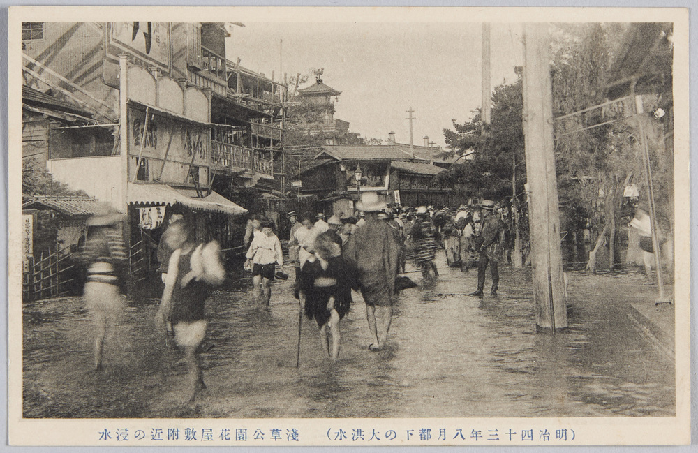
(Great Flood of August 1910 in the Capital) Inundation near Hanayashiki Amusement Park in Asakusa Park
Edo-Tokyo Museum
Document of System
Edo-Tokyo Museum
Ekoin Sumo Ranking for the May 1881 Tournament
Edo-Tokyo Museum
Document of Townspeople
Edo-Tokyo Museum
Tawaraya (Kitagawa Family) Materials: Note on Necessary Matters
Edo-Tokyo Museum
Kaisekizen Tray for the First Course
Edo-Tokyo Museum
Document of Laws
Edo-Tokyo Museum