
Detailed Map of Manchuria and China: Complete Map of China, Hankou and Its Vicinity 滿洲支那全土明細地圖 支那全圖・漢口附近
- Collection of
- Edo-Tokyo Museum
- Title
- Detailed Map of Manchuria and China: Complete Map of China, Hankou and Its Vicinity
- Collection ID
- 94002500
- Category
- Printed Material
- Size
- 53.8 cm x 39.1 cm
- Edo-Tokyo Museum Digital Archives
- https://www.edohakuarchives.jp/detail-139010.html
Other items of Edo-Tokyo Museum (159764)

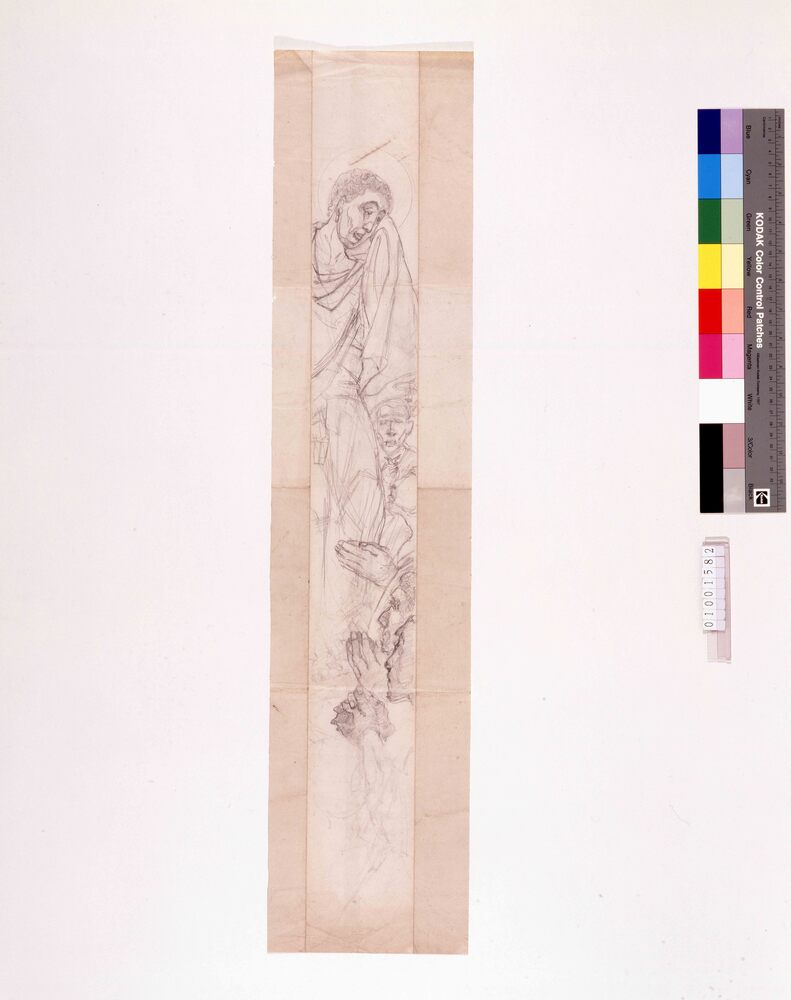
Employment Service Center Sketch: Interview Scene (“Shinchō”, November Issue)
Edo-Tokyo Museum
Document of Komeya Tanaka family
Edo-Tokyo Museum
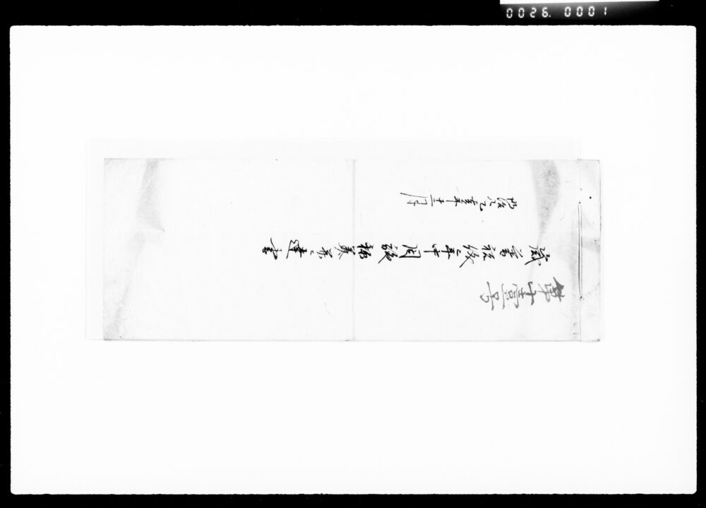
Saigō and Ōkubo, 1 to 180
Edo-Tokyo Museum
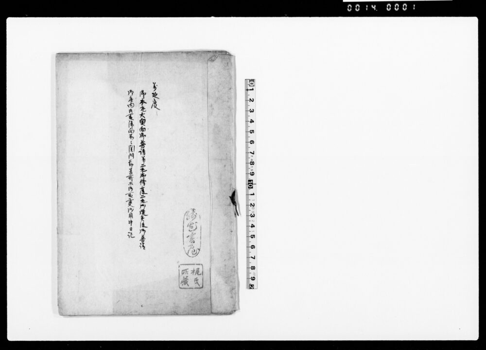
Document of Politics
Edo-Tokyo Museum
Edo-Tokyo Museum
Noshibukuro Envelope for a Hand Towel: Otefuki (Hand Towel) (White Background)
Edo-Tokyo Museum
Wrapper for “Hagi” Cigarettes (Peacetime Price 12 Sen)
Edo-Tokyo Museum
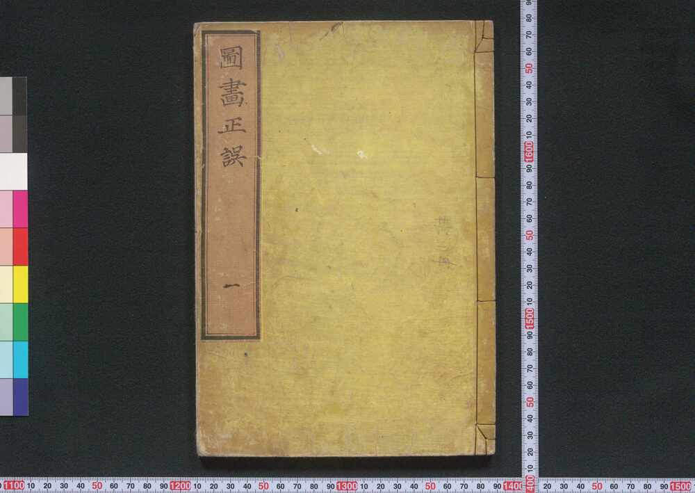
Zuga Seigo (Textbook of Painting), Vol. 1: On Color Pigments
Edo-Tokyo Museum
Edo-Tokyo Museum
Bungei Shōshi (Special Issue Featuring Doppo), Vol. 1, No. 1
Edo-Tokyo Museum
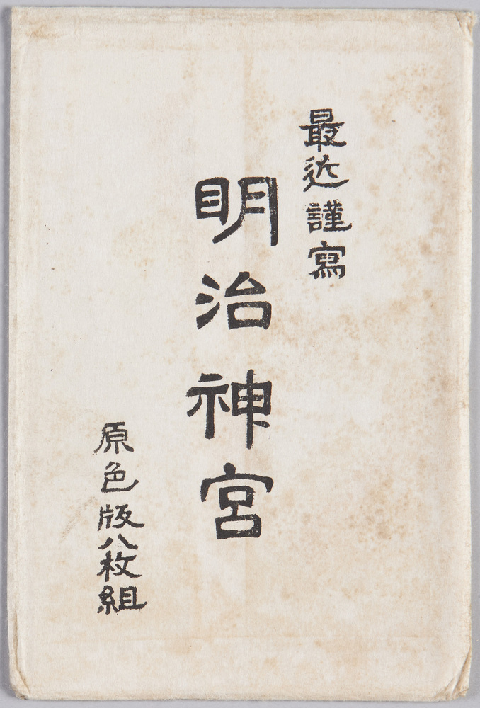
Latest Photographs, Meiji Jingū, Tricolor Print, 8-piece Set
Edo-Tokyo Museum
Public Document
Edo-Tokyo Museum
Clipping "Nissan Truck Bus"
Edo-Tokyo Museum
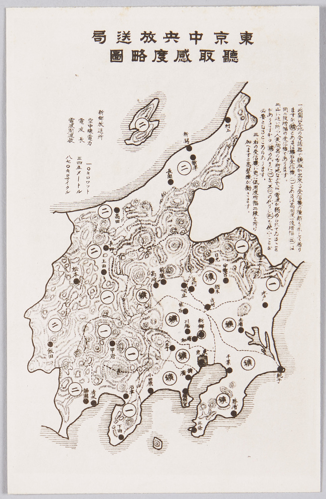
Tokyo Central Broadcasting Station: Reception Sensitivity Simplified Map
Edo-Tokyo Museum
Edo-Tokyo Museum
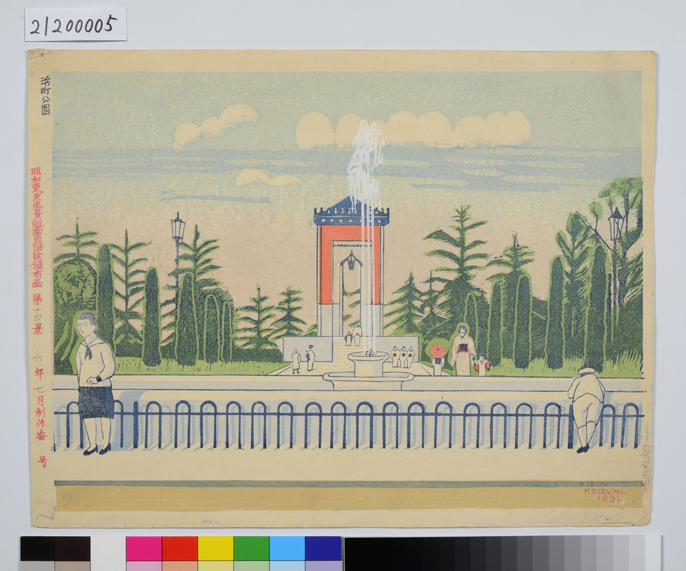
One Hundred Scenes from Great Tokyo Metropolis in the Shōwa Era: No. 14, Hamachō Park
Koizumi Kishio
Edo-Tokyo Museum