
Large Map of the Tokyo Reconstruction Plan: Sectional Map 29 (Shitaya) 東京復興計画大地図 区分図第二十九図(下谷)
帝国地方行政学会
- Collection of
- Edo-Tokyo Museum
- Title
- Large Map of the Tokyo Reconstruction Plan: Sectional Map 29 (Shitaya)
- Collection ID
- 93201950
- Category
- Printed Material
- Size
- 26.4 cm x 38.4 cm
- Edo-Tokyo Museum Digital Archives
- https://www.edohakuarchives.jp/detail-138365.html
Other items of Edo-Tokyo Museum (159764)

[Water Drawing Pail for Two People to Support]
Edo-Tokyo Museum
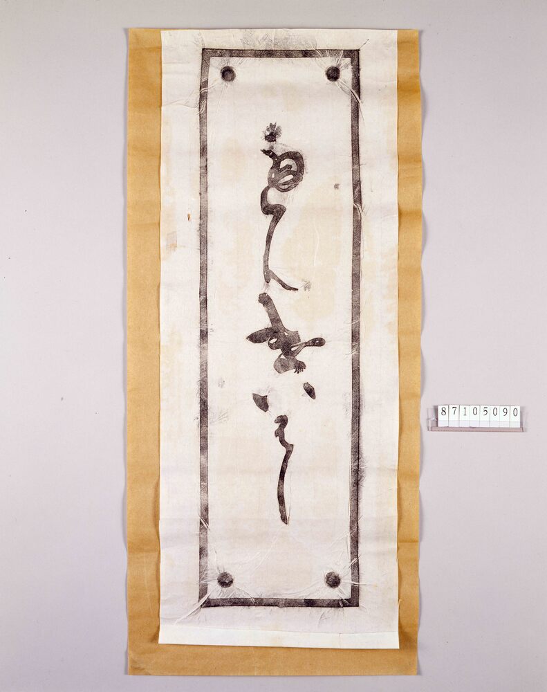
Rubbed Copy of Bridge Name Plate, "Benkaibashi Bridge"
Edo-Tokyo Museum
Edo-Tokyo Museum
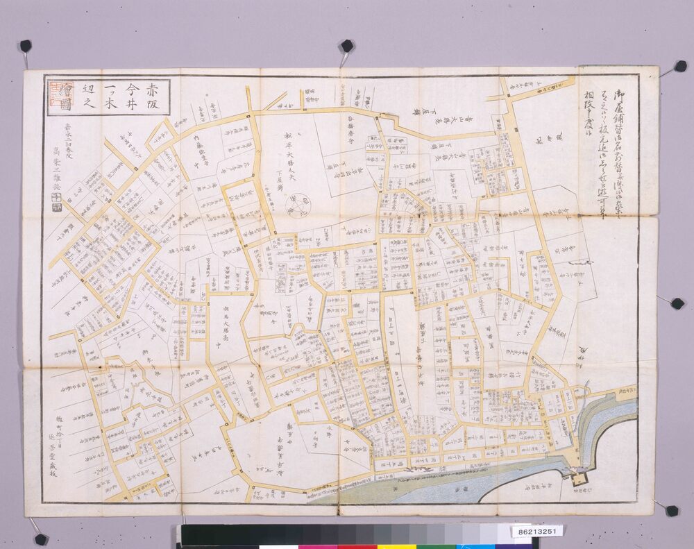
Area Map of Edo by Ōmiya: Akasaka Imai
Edo-Tokyo Museum
Letter of Appointment (Ōuchi Inokichi, Ordered to Work in the General Affairs Division of the General Affairs Department)
Edo-Tokyo Museum
List of the Names of Representatives and Committee Members
Edo-Tokyo Museum
Notice of Dividend for FY1978
Edo-Tokyo Museum
Tokyo Nichi Nichi Shimbun, 1928, No. 18616
Edo-Tokyo Museum
Bambutsu Kōgyō Hinagata, Complete
Edo-Tokyo Museum
Document of Rural Area
Edo-Tokyo Museum
Document of Contract
Edo-Tokyo Museum
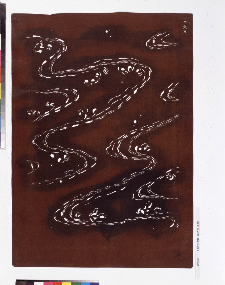
Manriki (Tool for Pulling Out Poles from the Seabed at Laver Farms)
Edo-Tokyo Museum
Hand Towel: Katsura Yonemaru, Maru (Circle) and Yokomokkōmon (Japanese Quince Pattern) Family Crest
Edo-Tokyo Museum
Folklore Survey Photograph: Valley
Edo-Tokyo Museum
Rectangular Dish
Edo-Tokyo Museum
Meiji Kiin Taigi Sonjōroku
Edo-Tokyo Museum