
Large Map of the Tokyo Reconstruction Plan: Sectional Map 18 (Kyōbashi) 東京復興計画大地図 区分図第十八図(京橋)
帝国地方行政学会
- Collection of
- Edo-Tokyo Museum
- Title
- Large Map of the Tokyo Reconstruction Plan: Sectional Map 18 (Kyōbashi)
- Collection ID
- 93201939
- Category
- Printed Material
- Size
- 26.4 cm x 38.4 cm
- Edo-Tokyo Museum Digital Archives
- https://www.edohakuarchives.jp/detail-138354.html
Other items of Edo-Tokyo Museum (159767)

KP-12 (Projection Lamp)
Edo-Tokyo Museum
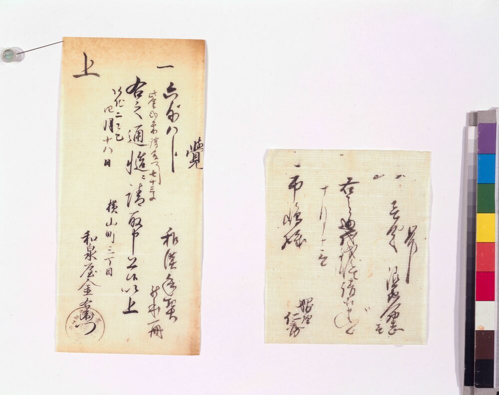
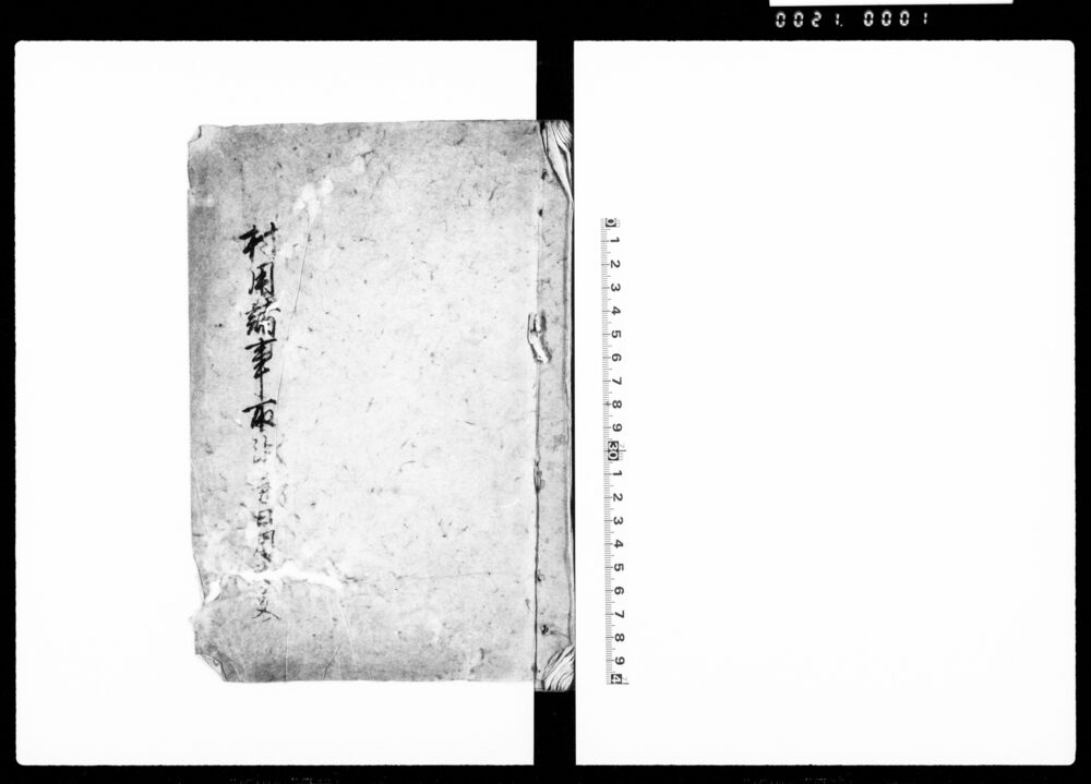
Document of Townspeople
Edo-Tokyo Museum
Set of Hina Dolls, Dairibina (Dolls Representing the Emperor and the Empress), Obina (Male Doll)
Edo-Tokyo Museum
Newspaper Clipping, January 1937: Tonight’s Menu; (1) Sanshū Miso Soup with Fukuro Oysters and Chopped Parsley
Edo-Tokyo Museum
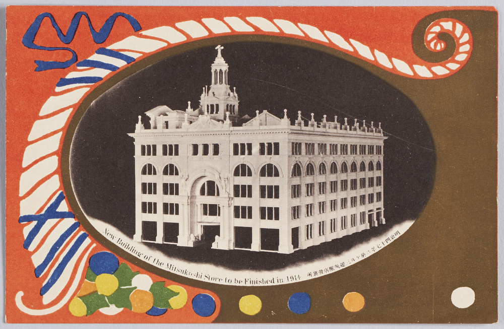
New Building of the Mitsukoshi Store to Be Finished in 1914
Edo-Tokyo Museum
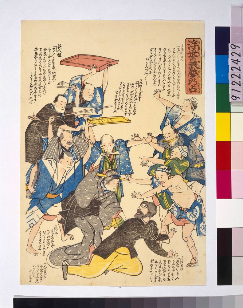
Ukiyo No Nami Yume No Uranai
Edo-Tokyo Museum
Public Document
Edo-Tokyo Museum
Newspaper Clipping, December 1936: How to Remove Tea Stains from Kimono
Edo-Tokyo Museum
Document of System
Edo-Tokyo Museum
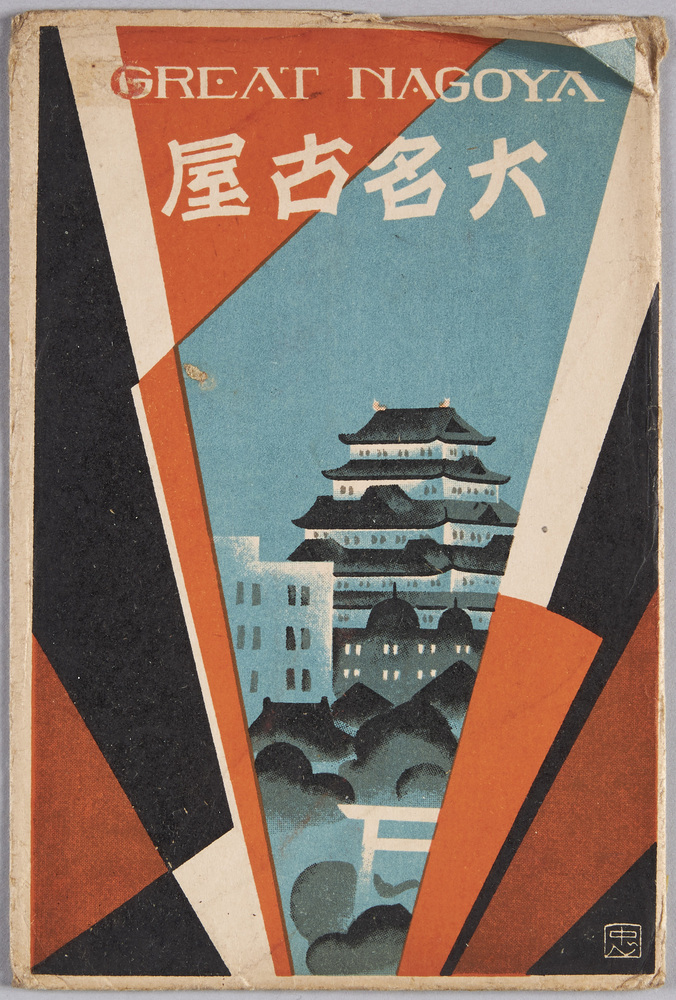
Envelope for Picture Postcards, Great Nagoya
Edo-Tokyo Museum
Sakingogendayūkōteiki
Edo-Tokyo Museum
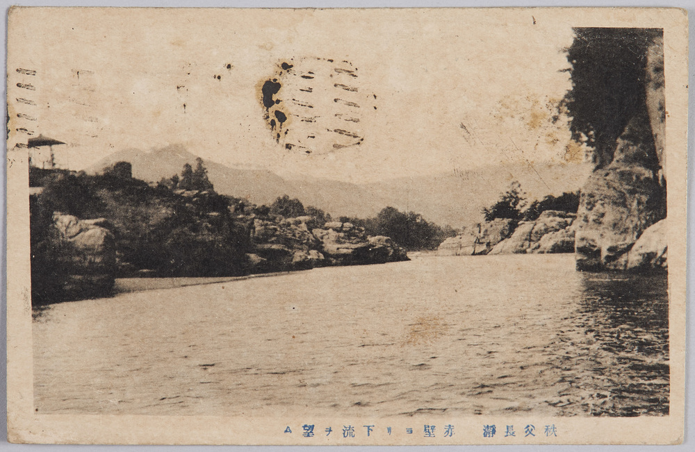
Nagatoro Gorge, Chichibu: View of the Lower Reaches from the Red Cliff
Edo-Tokyo Museum
Kosodesoga
Edo-Tokyo Museum
Cultural Property Survey Photograph: Old Trees
Edo-Tokyo Museum
Document of Rural Area
Edo-Tokyo Museum
Cultural Property Survey: Stone Memorial Tower, Nyohōji, Kōriyama
Edo-Tokyo Museum