
1:20,000 Topographical Map of "Chōfu, Ikegami, Yaguchi, Tamagawa, and Magome" 2万分の1 地形図「調布・池上・矢口・玉川・馬込」
- Collection of
- Edo-Tokyo Museum
- Title
- 1:20,000 Topographical Map of "Chōfu, Ikegami, Yaguchi, Tamagawa, and Magome"
- Collection ID
- 95005572
- Category
- Printed Material
- Creation Date
- 20世紀
- Size
- 38.2 cm x 46.7 cm
- Edo-Tokyo Museum Digital Archives
- https://www.edohakuarchives.jp/detail-179848.html
Other items of Edo-Tokyo Museum (159766)

1950 Unsei Kagami
Edo-Tokyo Museum
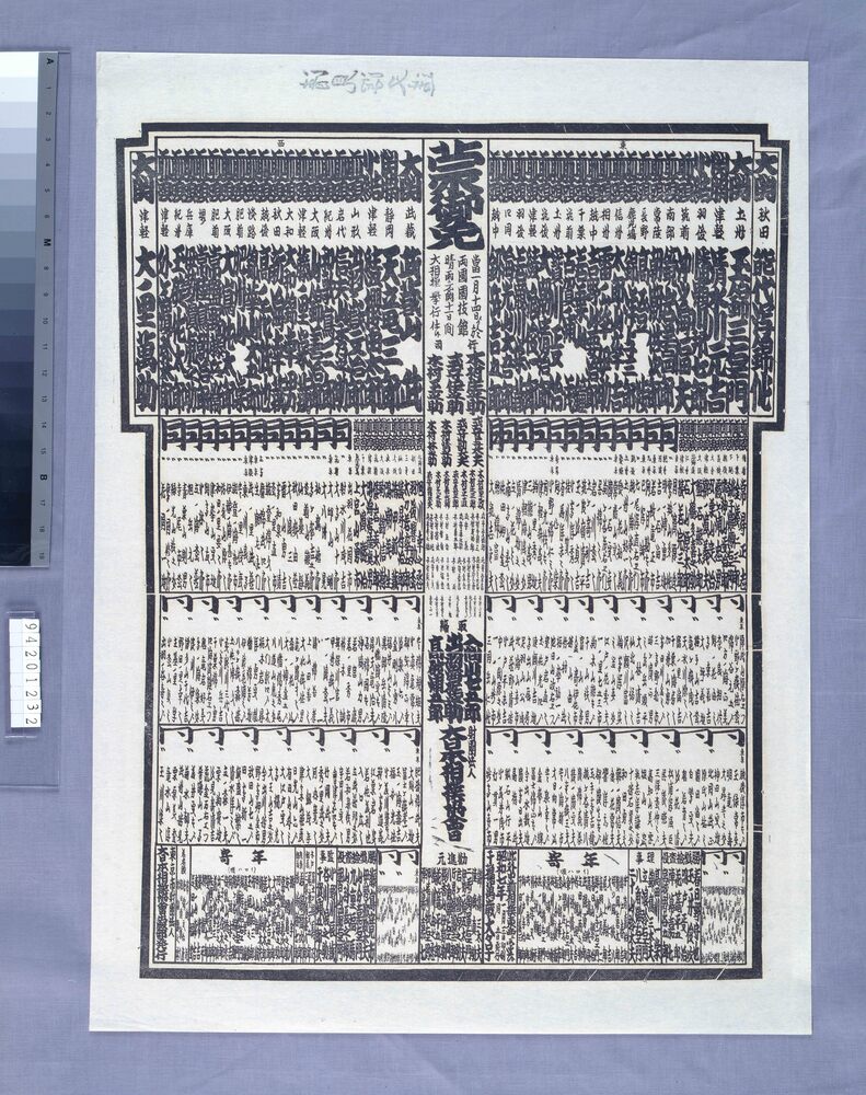
Ryōgoku Kokugikan Grand Sumo Tournament Rankings, January 1932 Tournament
Edo-Tokyo Museum

Folklore Survey Photograph: Dōsojin (Guardian Deity of Travelers)
Edo-Tokyo Museum
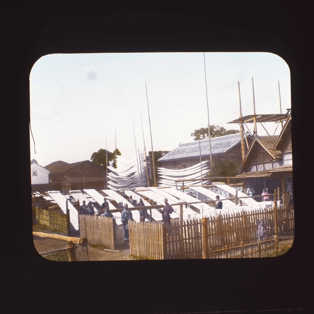
Men Drying Fabric Outdoors
Edo-Tokyo Museum

White Plum Blossom and Stream
Edo-Tokyo Museum

Postcard to Yamamoto Tsune (Not Posted)
Edo-Tokyo Museum
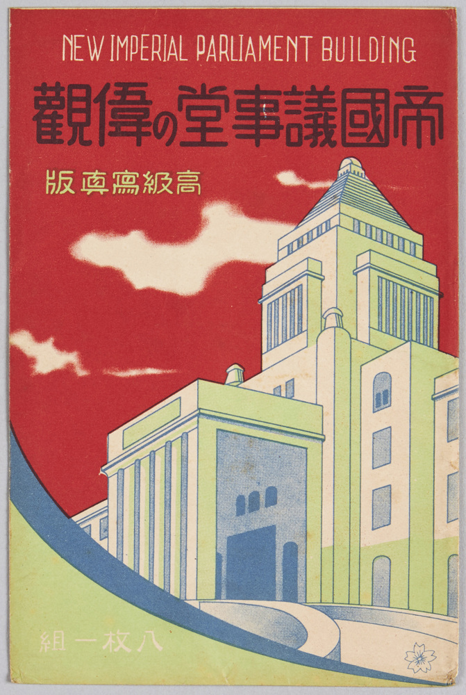
Magnificent View of the Imperial Diet Building
Edo-Tokyo Museum

(27) “Fugu to Mezashi no Monogatari”, Illustration
Edo-Tokyo Museum
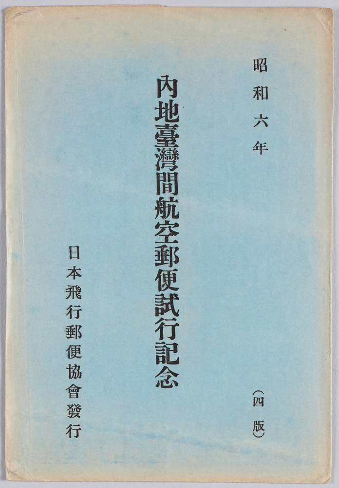
Commemoration of the Airmail Trial between Japan and Taiwan in 1931
Edo-Tokyo Museum

Invoice
Edo-Tokyo Museum
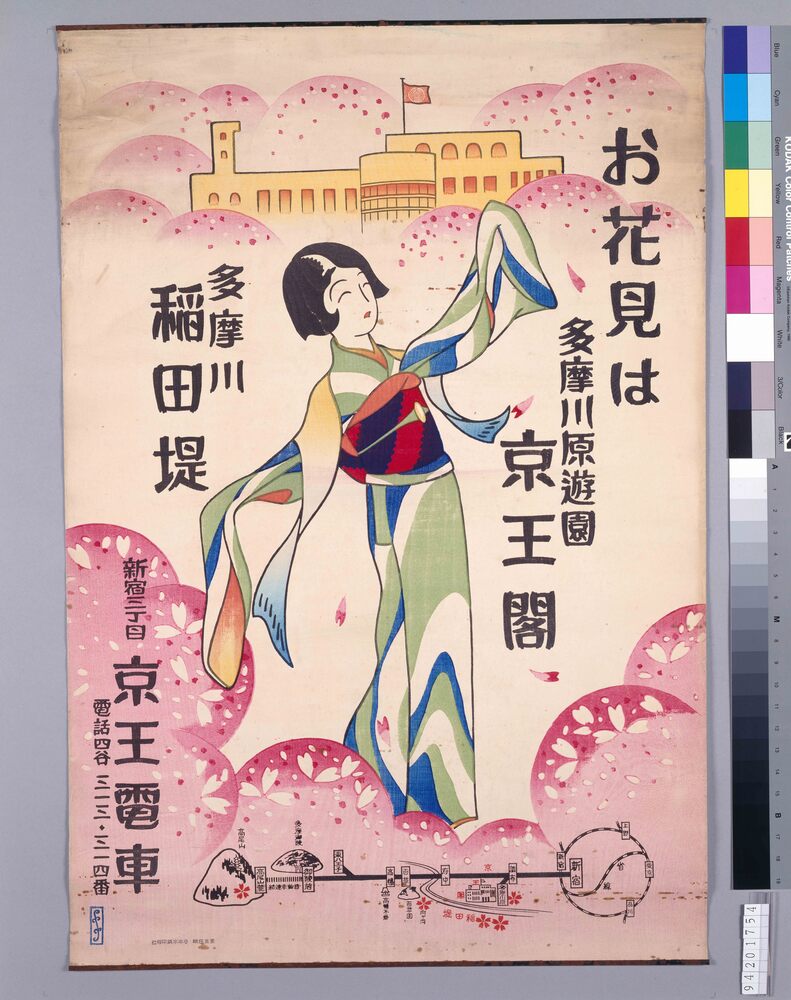
Keio Railway: Cherry Blossom Viewing Guide
Edo-Tokyo Museum

Deposit Receipt, Bank of Japan
Edo-Tokyo Museum

Private Document
Edo-Tokyo Museum

Document of System
Edo-Tokyo Museum

Yūraku Weekly, No. 20
Edo-Tokyo Museum
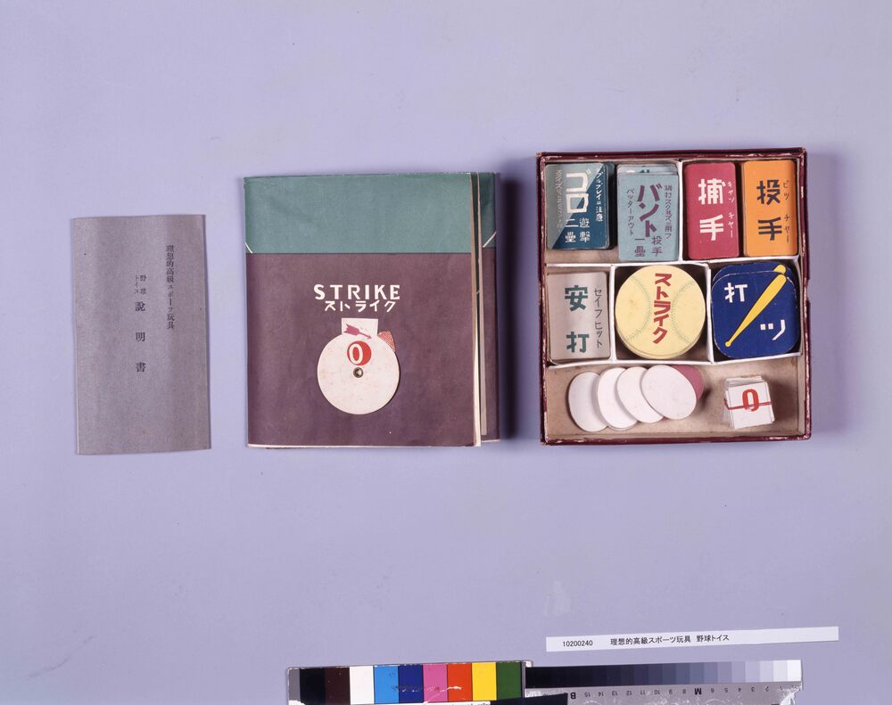
High Quality Sports Toy: Baseball Toys
Tomoe Shoten
Edo-Tokyo Museum

