
- Collection of
- Edo-Tokyo Museum
- Title
- Tokyo City Plan Map, Use Districts Edition, Map 19, Itabashiku
- Collection ID
- 87100845
- Category
- Printed Material
- Creation Date
- 1971 20世紀
- Size
- 109.2cm x 77.6 cm
- Edo-Tokyo Museum Digital Archives
- https://www.edohakuarchives.jp/detail-151018.html
Other items of Edo-Tokyo Museum (159767)
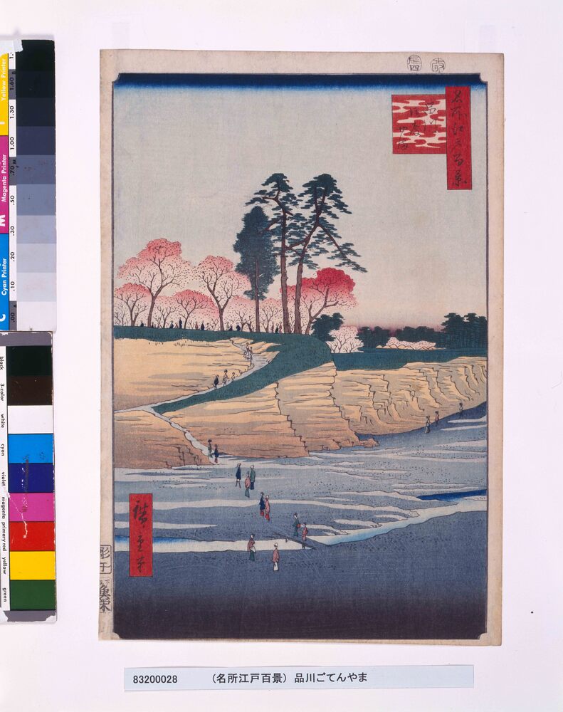
One Hundred Famous Views of Edo: Gotenyama Hill at Shinagawa
UTAGAWA Hiroshige
Edo-Tokyo Museum

Private Document
Edo-Tokyo Museum

Harukiza Theater
Edo-Tokyo Museum
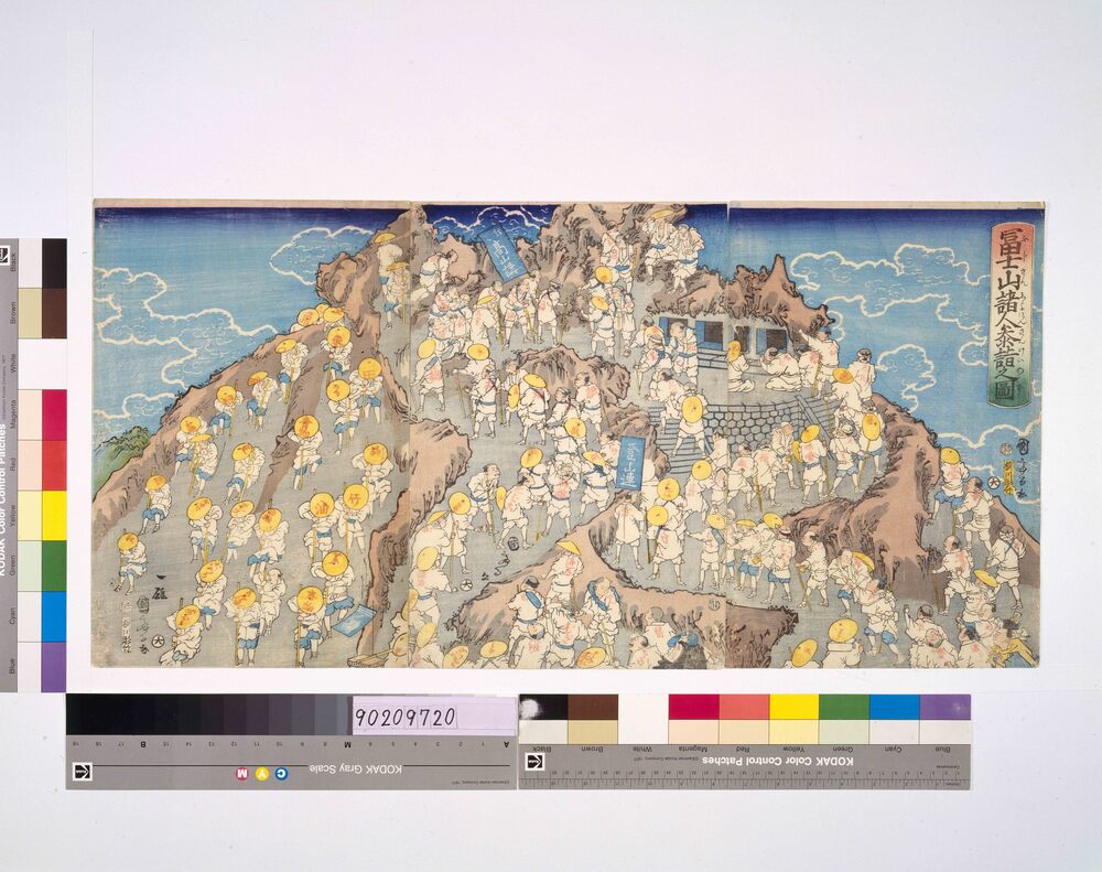
Edo-Tokyo Museum

Grand Kabuki in September
Edo-Tokyo Museum

Letter to Kawasaki Bunji
Edo-Tokyo Museum

Machete
Edo-Tokyo Museum
Tokyo Kaikosha (Army Veterans Association): Picture Postcards
Edo-Tokyo Museum
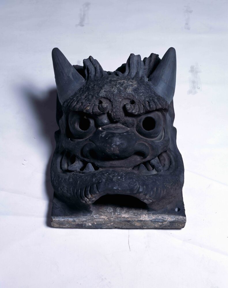
Onigawara (Ogre-Faced Roof Tile) of Descending Corner Ridge at Former Sensōji Temple Kannondō Hall (Kudarioni)
Edo-Tokyo Museum

Fortune Slip: No. 71, Kyō (Curse)
Edo-Tokyo Museum
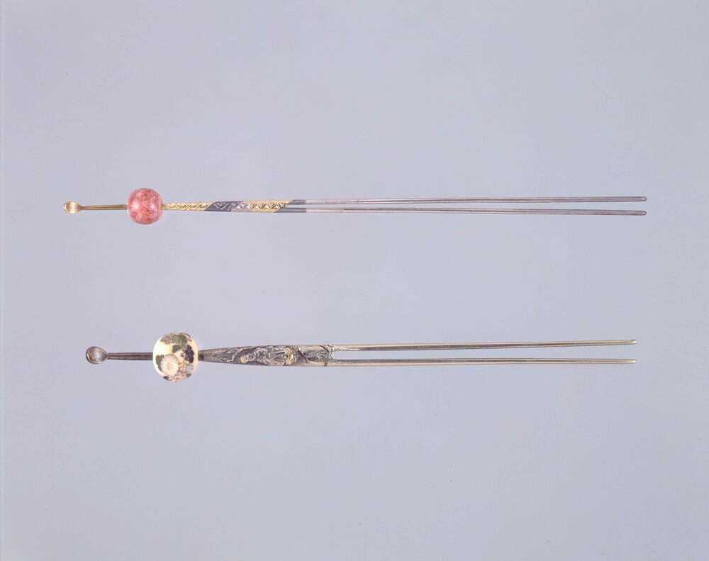
Edo-Tokyo Museum

Cultural Property Survey Photograph: Handwritten Poem
Edo-Tokyo Museum

This Is the Story of Woman Weavers, Who Were Called "Crow," Because They Were Constantly Making Flapping Sounds around Their Looms
Edo-Tokyo Museum

Wooden Plate: Natsu Tenma (Horses to Transport People or Baggage between Shukuba Stations)
Edo-Tokyo Museum

Kasagiyama and Nayoroiwa (Sumo Sketch Drawn on Postcard, 37)
Edo-Tokyo Museum

Materials Related to Social Movements in the Early Shōwa Era, Pamphlet, International, Vol. 6 No. 12, Youth Day Special Issue
Edo-Tokyo Museum

