
- Collection of
- Edo-Tokyo Museum
- Title
- Detailed Transportation Map of Kantō and Surrounding Regions
- Collection ID
- 87100751
- Category
- Printed Material
- Creation Date
- 1946 20世紀
- Size
- 38.0 cm x 53.5 cm
- Edo-Tokyo Museum Digital Archives
- https://www.edohakuarchives.jp/detail-150922.html
Other items of Edo-Tokyo Museum (159766)
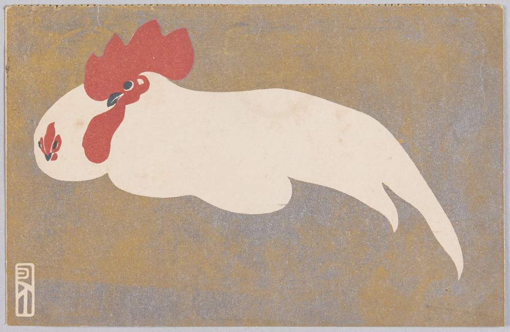
Animal Postcard: Rooster and Hen
Edo-Tokyo Museum

Chanchanko (Padded Sleeveless Kimono Jacket)
Edo-Tokyo Museum

Document of Townspeople
Edo-Tokyo Museum
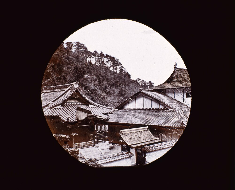
Famous Views: Mausoleum of Emperor Daigo, Yamato
Edo-Tokyo Museum

Tsubowan (Bowl for a Cold Dish)
Edo-Tokyo Museum

Dyeing Stencil for a Hand Towel with a Name of a Business in Sumidaku: Shinoda Biyōin, a Beauty Parlor in Higashi Ryōgoku
Edo-Tokyo Museum

A Thousand Views of Tokyo: Pen Sketch, Negishi Shrine, Bunkyōku
Edo-Tokyo Museum
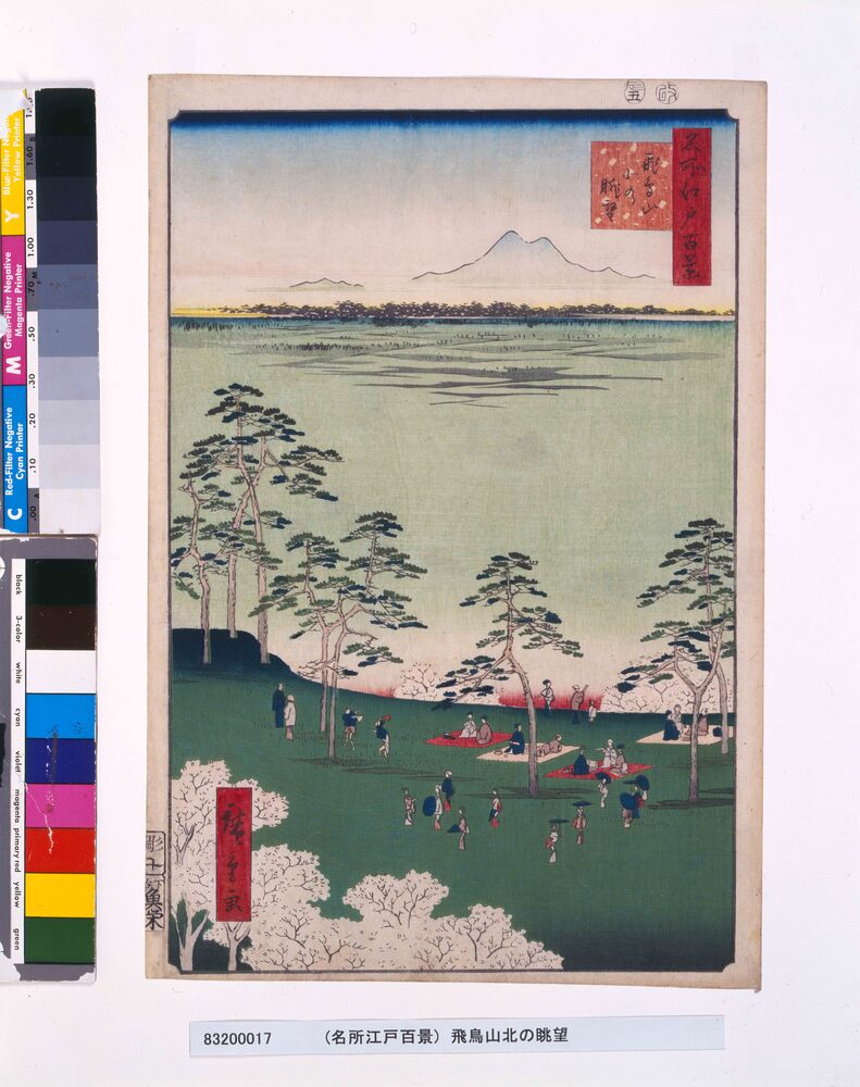
One Hundred Famous Views of Edo: View to the North from Asukayama Hill
UTAGAWA Hiroshige
Edo-Tokyo Museum
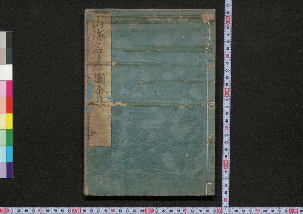
Nihon Sankai Meisan Zu-e (Illustrations of Famous Products Around the Country)
Edo-Tokyo Museum

Jiji Shimpō, Issue of January 16, 1924, Evening Edition
Edo-Tokyo Museum

[The Ōta Residence] Utility Pole Location Map, Including [the Ōta Residence] Site and Roads
Edo-Tokyo Museum

10 Sen Coin
Edo-Tokyo Museum
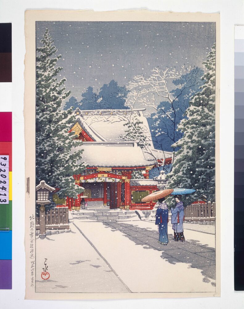
Snow in Front of the Shrine (Hie Shrine) (Trial Print)
Kawase Hasui
Edo-Tokyo Museum

Catalog of Works Exhibited at the 15th Imperial Art Academy Exhibition, Sculpture Section, Part 3
Edo-Tokyo Museum

Private Document
Edo-Tokyo Museum

Zinc Plate, Medals of Kitaku
Edo-Tokyo Museum

