Newly Illustrated in the Kaei Era, Complete Map of the Provinces, Districts and Routes of Japan 嘉永新絵 大日本国郡輿地全図
高柴英三雄/誌
- Collection of
- Edo-Tokyo Museum
- Title
- Newly Illustrated in the Kaei Era, Complete Map of the Provinces, Districts and Routes of Japan
- Collection ID
- 87100014
- Category
- Printed Material
- Creation Date
- 1849 19世紀
- Size
- 71.8 cm x 141.2cm
- Edo-Tokyo Museum Digital Archives
- https://www.edohakuarchives.jp/detail-150320.html
Other items of Edo-Tokyo Museum (159767)

Illustrated Cast and Story, Ichimuraza Theater
Edo-Tokyo Museum

Dyeing Stencil for a Hand Towel with a Name of a Business in Sumidaku: Nishikubo Shōten in Higashi Ryōgoku
Edo-Tokyo Museum

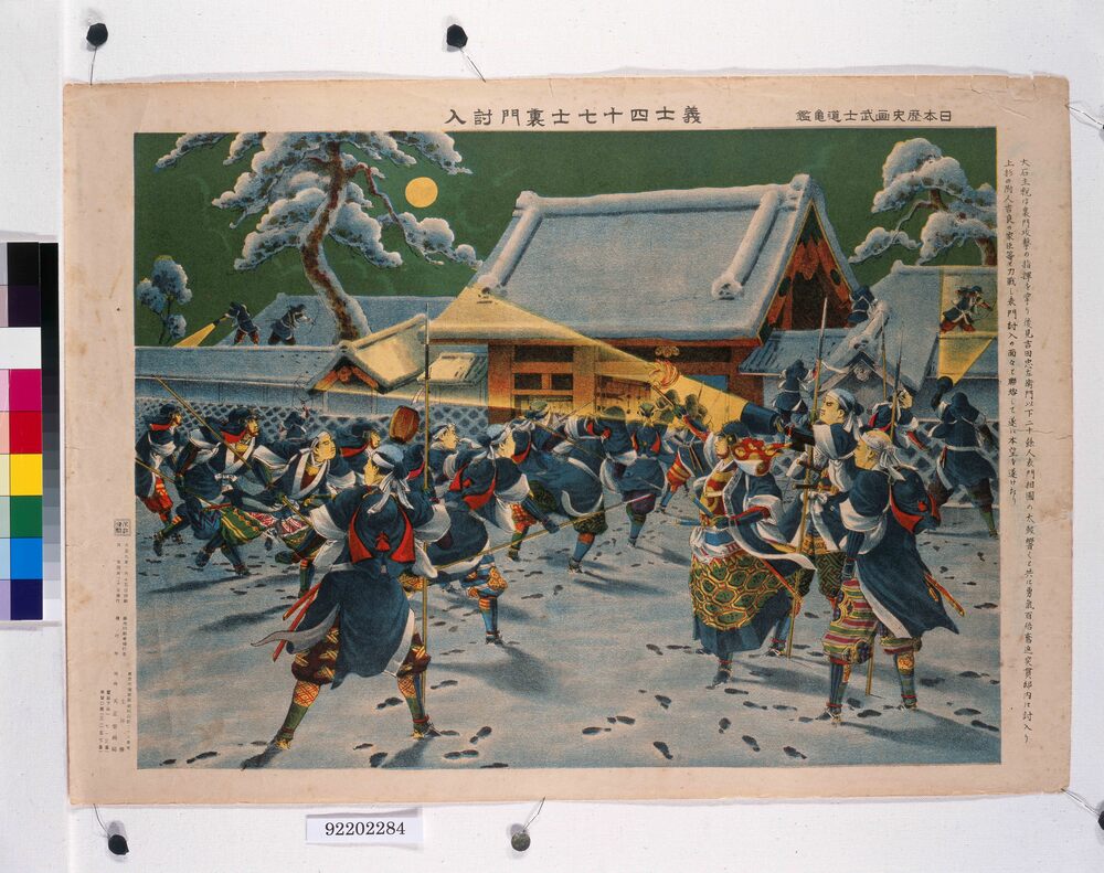
Picture of Japanese History - Paragon of Japanese Chivalry : The Forty-Seven Loyal Retainers Raid the Residence from the Back Gate
Tsuchiya Den
Edo-Tokyo Museum

Pillow Cover
Edo-Tokyo Museum

Document of Samurai Class
Edo-Tokyo Museum

Photograph of Utsushi-e: Man Dancing with a Fan and Bell (“Sanbasō”)
Edo-Tokyo Museum

Grand Airship (With Pouch, Yōnenkurabu Magazine, Volume 7, No. 8, August Issue, Supplement)
Edo-Tokyo Museum

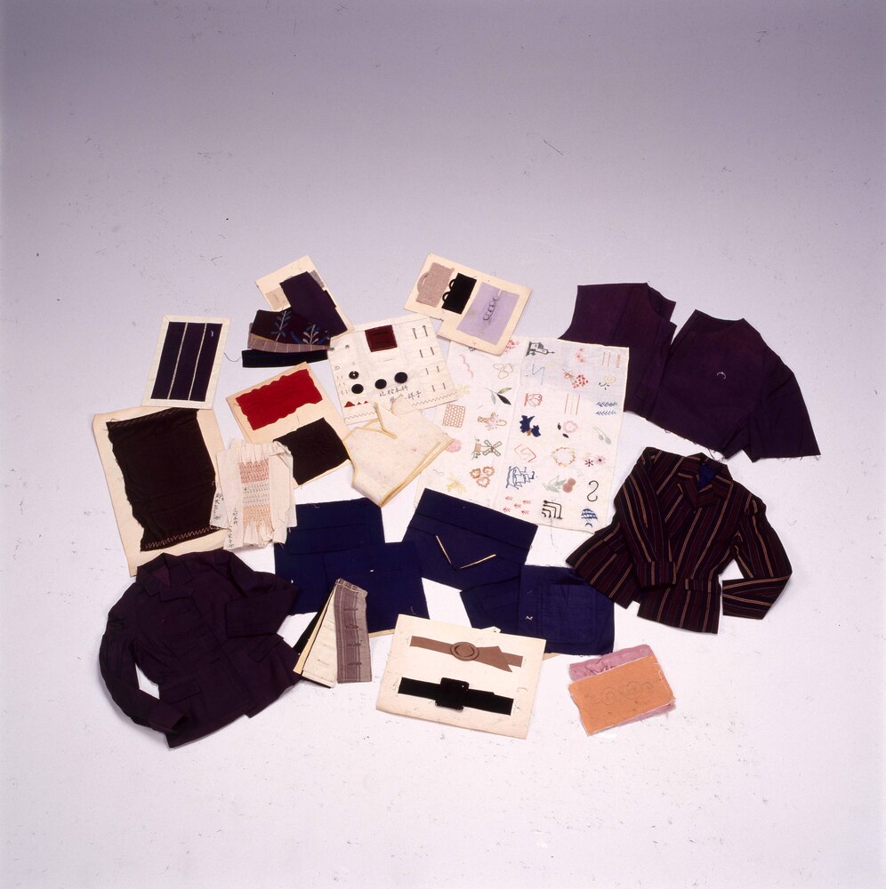
Jacket Pattern
Edo-Tokyo Museum

Toaster
Edo-Tokyo Museum

Fan
Edo-Tokyo Museum

Document of Contract
Edo-Tokyo Museum

Document of Community
Edo-Tokyo Museum

Bowing Man (New Year's Greeting Card)
Edo-Tokyo Museum

Floor Plan for a House
Edo-Tokyo Museum

Land Plan for Ōishi Hospital
Edo-Tokyo Museum

November (30-Day Month)
Edo-Tokyo Museum

