Map of the Southwestern Part of Kinuta (Tokyoshi, Setagayaku, Kitatamagun, Komaemura, 39-6) 砧西南部地図(東京市世田谷区北多摩郡狛江村 三十九号ノ六)
- Collection of
- Edo-Tokyo Museum
- Title
- Map of the Southwestern Part of Kinuta (Tokyoshi, Setagayaku, Kitatamagun, Komaemura, 39-6)
- Collection ID
- 85200280
- Category
- Printed Material
- Creation Date
- 1939 20世紀
- Size
- 49.5 cm x 59.0 cm
- Edo-Tokyo Museum Digital Archives
- https://www.edohakuarchives.jp/detail-147527.html
Other items of Edo-Tokyo Museum (159767)

Private Document
Edo-Tokyo Museum

Materials Related to Social Movements in the Early Shōwa Era, Flyer, Fight on August 1 with Demonstrations, Strikes, and Sabotage! Long Live the International Anti-war Day, August 1
Edo-Tokyo Museum

[A Bundle of Small Baskets]
Edo-Tokyo Museum

Saigoku Junrei Kōjo no Adauchi
Edo-Tokyo Museum

Talisman: Draft of Kannon Engi from a Temple in Jōshū Province
Edo-Tokyo Museum

Document of Politics
Edo-Tokyo Museum

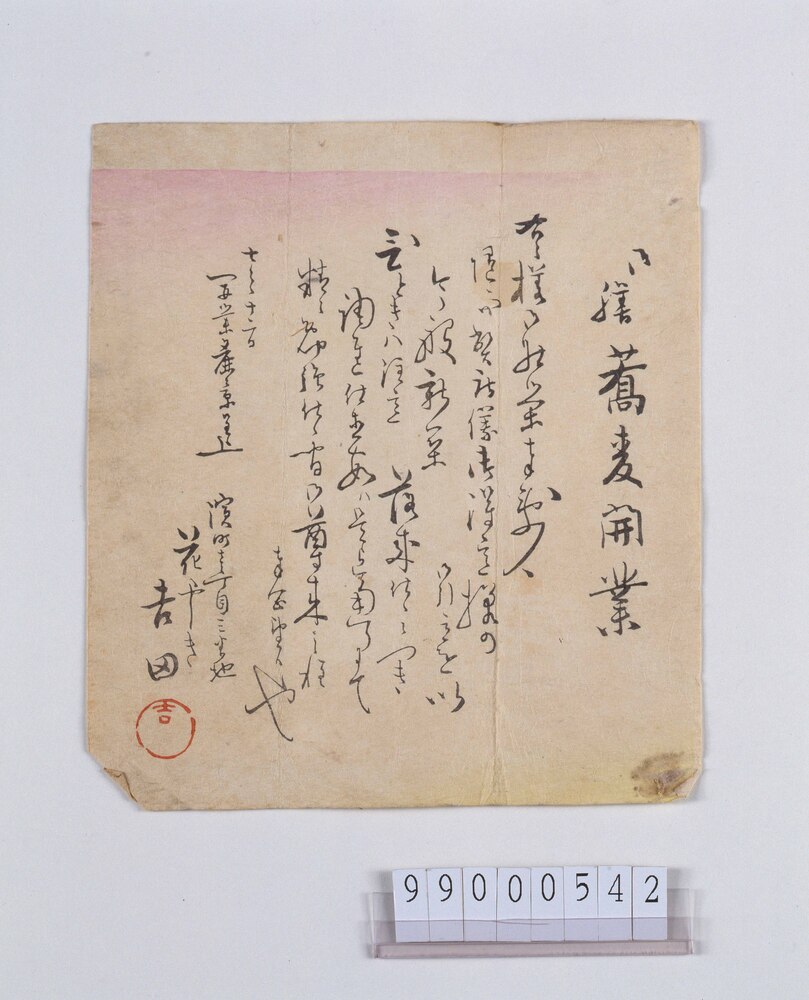
Document
Edo-Tokyo Museum

Steel Helmet
Edo-Tokyo Museum

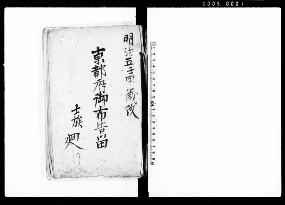
Document of Samurai Class
Edo-Tokyo Museum

Edo-Tokyo Museum

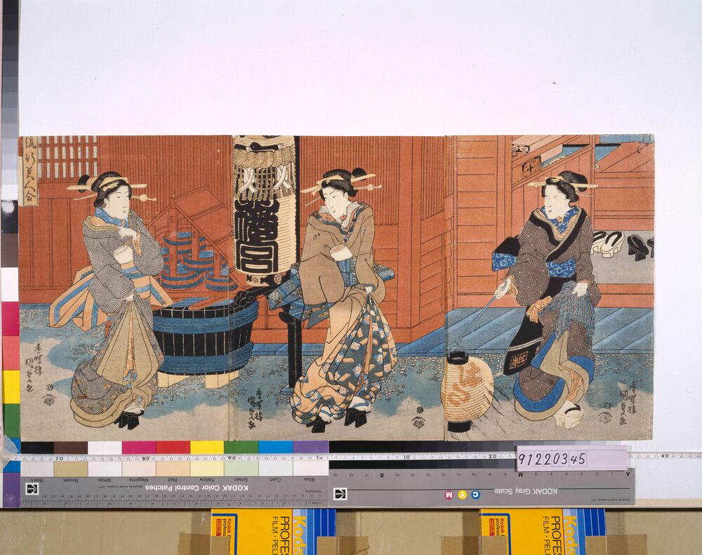
A Comparison of Popular Beauties
Edo-Tokyo Museum

Flint Striker
Edo-Tokyo Museum

King of the Animal Kingdom, The Lion's Eyeglasses (196)
Edo-Tokyo Museum

Men Masks, Demon
Edo-Tokyo Museum

Paperweight Commemorating the Restoration of the Imperial Capital
Edo-Tokyo Museum

Advertisement Clipping, Momijiya Bank
Edo-Tokyo Museum

