Map of the Northwestern Part of Koishikawa (Tokyoshi, Koishikawaku, Kitatoshimagun, Takadamachi, Sugamomachi, 19-5) 小石川西北部地図(東京市小石川区北豊島郡高田町巣鴨町 十九号ノ五)
- Collection of
- Edo-Tokyo Museum
- Title
- Map of the Northwestern Part of Koishikawa (Tokyoshi, Koishikawaku, Kitatoshimagun, Takadamachi, Sugamomachi, 19-5)
- Collection ID
- 85200160
- Category
- Printed Material
- Creation Date
- 1930 20世紀
- Size
- 49.5 cm x 59.0 cm
- Edo-Tokyo Museum Digital Archives
- https://www.edohakuarchives.jp/detail-147407.html
Other items of Edo-Tokyo Museum (159767)

Tokyo Nichi Nichi Shimbun, Evening Edition
Edo-Tokyo Museum

Paper Lantern
Edo-Tokyo Museum

Private Document
Edo-Tokyo Museum

Hand Towel Pattern: Niō (Guardian God of Buddhism)
Edo-Tokyo Museum

Rice Polisher
Edo-Tokyo Museum

Private Document
Edo-Tokyo Museum

Waka Poem on a Fan
Edo-Tokyo Museum

Documents for Accepting Employees
Edo-Tokyo Museum

Round Menko
Edo-Tokyo Museum

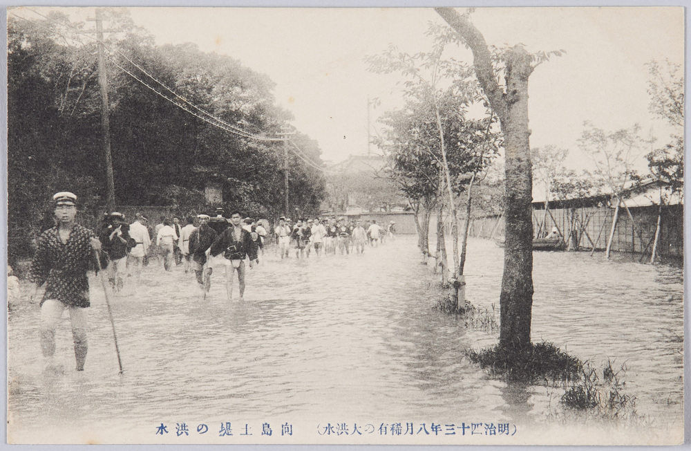
(Unusual Great Flood of August 1910) Flood on the Mukōjima Embankment
Edo-Tokyo Museum

Omocha-e (Toy Woodblock Print)
Edo-Tokyo Museum

Pay Envelope
Edo-Tokyo Museum

Poem Created by Emperor Showa, The 90th Founding Anniversary Ceremony of Yasukunijinja Shrine
Edo-Tokyo Museum

Document of Laws
Edo-Tokyo Museum

Ceramic (Landmine)
Edo-Tokyo Museum

Cushion
Edo-Tokyo Museum

