
Final Plot Map of the Land Redevelopment District No. 34 in Ueno, Part 1 (Block 13) 上野第三十四土地区画整理地区壱部(第十三号ブロック)面積決定図
- Collection of
- Edo-Tokyo Museum
- Title
- Final Plot Map of the Land Redevelopment District No. 34 in Ueno, Part 1 (Block 13)
- Collection ID
- 90005023
- Category
- Printed Material
- Creation Date
- 1926 20世紀
- Size
- 89.4 cm x 175.4cm
- Edo-Tokyo Museum Digital Archives
- https://www.edohakuarchives.jp/detail-61123.html
Other items of Edo-Tokyo Museum (159767)

Dyeing Stencil for a Hand Towel with a Name of a Business in Sumidaku: Iwata Shōten in Umayabashi
Edo-Tokyo Museum

Souvenir Train Ticket: Single Train Ticket Commemorating the 25th Anniversary of the Opening of Tokyo Bay
Edo-Tokyo Museum
Edo-Tokyo Museum

Shūkan NHK Shimbun, No. 276
Edo-Tokyo Museum

Box
Edo-Tokyo Museum
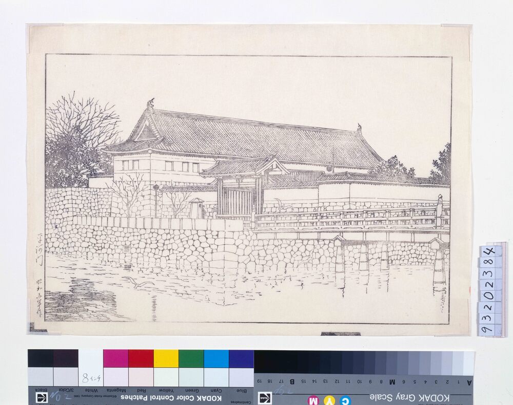
Twenty Views of Tokyo : Hirakawamon Gate (Proof Print)
Kawase Hasui
Edo-Tokyo Museum

Kokeshi Dolls (Large, Medium, and Small)
Edo-Tokyo Museum
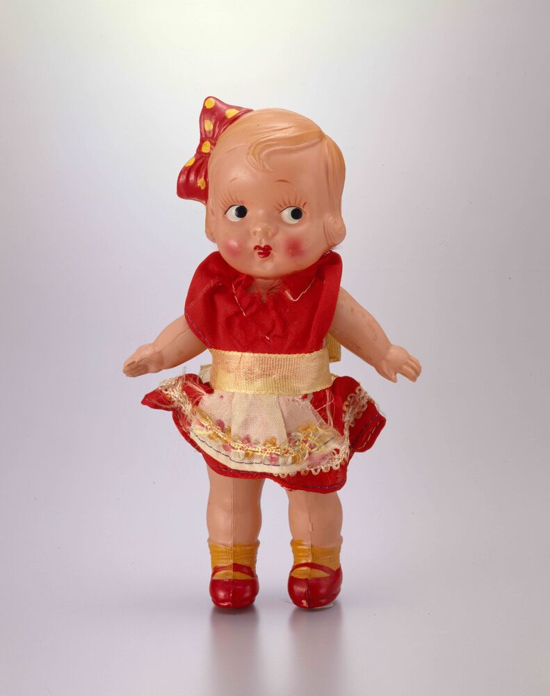
Celluloid Doll, Curly Haired Girl (with Ribbon and Clothes)
Edo-Tokyo Museum

[Seeding Report]
Edo-Tokyo Museum

Public Document
Edo-Tokyo Museum

Mainichi Shōgakusei Shimbun, No. 5173
Edo-Tokyo Museum

Letter of Appreciation and Copy of Letter of Appreciation from Egawa Tsuneo, Warehouse Chief of the Kantō Army
Edo-Tokyo Museum

(173) “Fugu to Mezashi no Monogatari”, Illustration
Edo-Tokyo Museum
Document of System
Edo-Tokyo Museum
Unjō Meiran Taizen (Complete Directory of Court Nobles), Vol. 1
Edo-Tokyo Museum

Newspaper Clipping, September 1937: Aesthetic Medicine
Edo-Tokyo Museum

